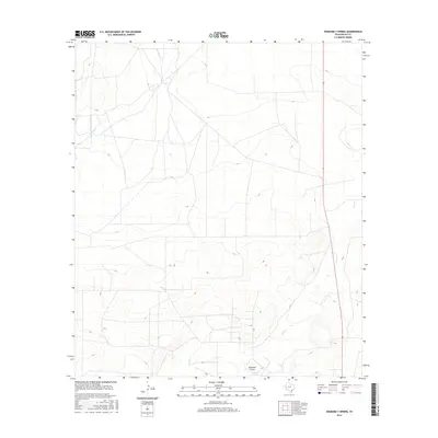
2016 Map of Diamond Y Spring
USGS Topo · Published 2016About this map
Diamond Y Spring serves as a critical water source in this arid stretch of Pecos County, marking a vital hydrological point within the broader Diamond Y Draw. The landscape is defined by its intermittent drainage systems, where Leon Cr and Courtney Cr carve subtle paths through the terrain. This 2016 survey captures the area's contemporary geography, characterized by a sparse network of local roads and 4WD tracks that navigate the expansive cattle country. The proximity of these springs and draws highlights the historical importance of reliable water for ranching and transit in the Trans-Pecos region of West Texas.
Find a feature on this map
4 named features on this map. Tap any name to fly to it.
Don’t see what you’re looking for? This feature index may not catch every label — zoom into the map to look around manually.
Map Details
Editions of this 2016 Diamond Y Spring Map
This is the sole edition of this map. No revisions or reprints were ever made.
Other maps of this area

1921 · Fort Stockton
USGS Topo · 1:62,500

1923 · Fort Stockton
USGS Topo · 1:62,500

1928 · Comanche Spring
USGS Topo · 1:125,000

1929 · Hovey
USGS Topo · 1:125,000

1931 · Barstow
USGS Topo · 1:125,000

1954 · Pecos
USGS Topo · 1:250,000

1954 · Fort Stockton
USGS Topo · 1:250,000

1957 · Pecos
USGS Topo · 1:250,000

1958 · Fort Stockton
USGS Topo · 1:250,000

1970 · Fort Stockton West
USGS Topo · 1:24,000