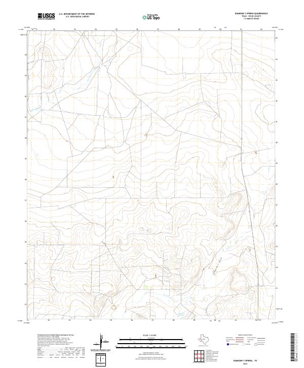
2022 Map of Diamond Y Spring
USGS Topo · Published 2022About this map
Diamond Y Spring serves as the focal point of this arid West Texas landscape in Pecos County. The terrain is defined by the significant drainage patterns of the Diamond Y Draw, which cuts through the southern portion of the quadrangle before intersecting with the eastward-flowing Leon Cr. Further north, the ephemeral waters of Courtney Cr traverse the high desert plains. This 2022 survey captures the modern road network and topographic contours of a region where water sources like the spring have historically dictated the movement of people and livestock through the Trans-Pecos region. The sparse distribution of named features highlights the isolated character of this high-elevation terrain.
Find a feature on this map
4 named features on this map. Tap any name to fly to it.
Don’t see what you’re looking for? This feature index may not catch every label — zoom into the map to look around manually.
Map Details
Editions of this 2022 Diamond Y Spring Map
This is the sole edition of this map. No revisions or reprints were ever made.
Other maps of this area

1921 · Fort Stockton
USGS Topo · 1:62,500

1923 · Fort Stockton
USGS Topo · 1:62,500

1928 · Comanche Spring
USGS Topo · 1:125,000

1929 · Hovey
USGS Topo · 1:125,000

1931 · Barstow
USGS Topo · 1:125,000

1954 · Pecos
USGS Topo · 1:250,000

1954 · Fort Stockton
USGS Topo · 1:250,000

1957 · Pecos
USGS Topo · 1:250,000

1958 · Fort Stockton
USGS Topo · 1:250,000

1970 · Fort Stockton West
USGS Topo · 1:24,000