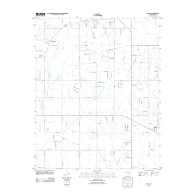
2013 Map of Dibble
USGS Topo · Published 2013About this map
Naples Cem and Hale Cem provide significant landmarks for family historians studying this rural area of central Oklahoma. The landscape is defined by the headwaters of numerous streams, including W Winter Cr and E Winter Cr, which feed into larger systems like Laflin Cr and Criner Cr. The settlement of Middleberg occupies the northwestern corner, while the town of Dibble serves as a southern hub, joined by the Green Acres Addition residential area.
Find a feature on this map
107 named features on this map. Tap any name to fly to it.
Don’t see what you’re looking for? This feature index may not catch every label — zoom into the map to look around manually.
Map Details
Editions of this 2013 Dibble Map
This is the sole edition of this map. No revisions or reprints were ever made.
Other maps of this area

1902 · Rush Springs
USGS Topo · 1:125,000

1904 · Chickasha
USGS Topo · 1:125,000

1949 · Rush Springs
USGS Topo · 1:62,500

1950 · Rush Springs
USGS Topo · 1:62,500

1954 · Oklahoma City
USGS Topo · 1:250,000

1957 · Ardmore
USGS Topo · 1:250,000

1957 · Oklahoma City
USGS Topo · 1:250,000

1963 · Ardmore
USGS Topo · 1:250,000

1963 · Oklahoma City
USGS Topo · 1:250,000
1965 · Newcastle
USGS Topo · 1:24,000