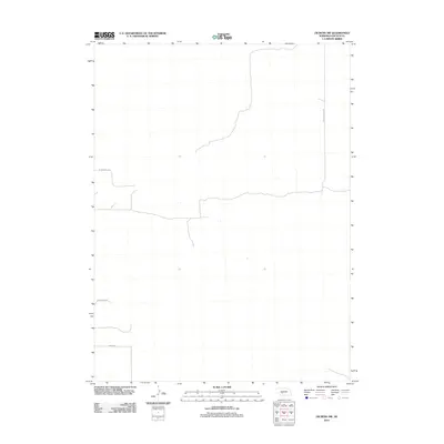
2011 Map of Dickens NW
USGS Topo · Published 2011About this map
Lincoln County’s rural plains are defined by a strictly surveyed grid of county roads in this 2011 topographic record of the Nebraska interior. The landscape is marked by the presence of S Miller School Rd, a name that points to the local educational history of this corner of the state. These thoroughfares, including W Frederick Rd and W Swanson Rd, trace the high ground and section lines through a region predominantly characterized by its agricultural layout and sparse human footprint. The orientation of Morse Rd further illustrates the geometric precision applied to the Great Plains during the modern era, providing a clear view of the transportation network serving the scattered farmsteads and ranches of the Dickens area.
Find a feature on this map
4 named features on this map. Tap any name to fly to it.
Don’t see what you’re looking for? This feature index may not catch every label — zoom into the map to look around manually.
Map Details
Editions of this 2011 Dickens NW Map
This is the sole edition of this map. No revisions or reprints were ever made.
Other maps of this area

1898 · Paxton
USGS Topo · 1:125,000

1899 · North Platte
USGS Topo · 1:125,000

1901 · Paxton
USGS Topo · 1:125,000

1902 · North Platte
USGS Topo · 1:125,000

1954 · McCook
USGS Topo · 1:250,000

1954 · North Platte
USGS Topo · 1:250,000

1956 · North Platte
USGS Topo · 1:250,000

1956 · Dickens
USGS Topo · 1:24,000

1956 · Somerset
USGS Topo · 1:24,000

1957 · North Platte
USGS Topo · 1:250,000