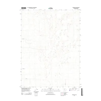
2014 Map of Dickens NW
USGS Topo · Published 2014About this map
The rolling hills of southern Lincoln County are defined by an expansive section-line grid in this 2014 survey. This portion of the High Plains is characterized by subtle topographic contours and a minimalist road network. Significant north-south travel is facilitated by N Dickens Rd, while east-west routes like W Frederick Rd, W Swanson Rd, and Morse Rd provide access to the vast agricultural and ranching parcels of the Nebraska interior. The map illustrates the structured, rectilinear pattern of land division that governs this sparsely populated landscape, highlighting how modern infrastructure follows the historical grid system established during the region's initial settlement.
Find a feature on this map
4 named features on this map. Tap any name to fly to it.
Don’t see what you’re looking for? This feature index may not catch every label — zoom into the map to look around manually.
Map Details
Editions of this 2014 Dickens NW Map
This is the sole edition of this map. No revisions or reprints were ever made.
Other maps of this area

1898 · Paxton
USGS Topo · 1:125,000

1899 · North Platte
USGS Topo · 1:125,000

1901 · Paxton
USGS Topo · 1:125,000

1902 · North Platte
USGS Topo · 1:125,000

1954 · McCook
USGS Topo · 1:250,000

1954 · North Platte
USGS Topo · 1:250,000

1956 · North Platte
USGS Topo · 1:250,000

1956 · Dickens
USGS Topo · 1:24,000

1956 · Somerset
USGS Topo · 1:24,000

1957 · North Platte
USGS Topo · 1:250,000