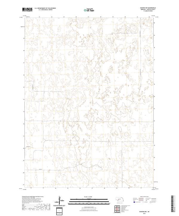
2021 Map of Dickens NW
USGS Topo · Published 2021About this map
Lincoln County's rolling sandhills terrain is the defining characteristic of this 2021 topographic survey. The landscape is primarily defined by its natural topography rather than dense settlement, with the land divisions of t12n r32w and t12n r31w marking the northern stretches of the quadrangle. A sparse network of rural routes provides access across the hills, including S Miller School Rd in the northeast and W Frederick Rd further west. The lack of concentrated townships highlights the expansive, open nature of this portion of Nebraska, where the Public Land Survey System grid serves as the primary human structure over the earth. Modern land management is evidenced by the inclusion of Swanson Rd and Morse Rd, which connect the scattered agricultural holdings and homesteads that remain central to the region's economy and history.
Find a feature on this map
8 named features on this map. Tap any name to fly to it.
Don’t see what you’re looking for? This feature index may not catch every label — zoom into the map to look around manually.
Map Details
Editions of this 2021 Dickens NW Map
This is the sole edition of this map. No revisions or reprints were ever made.
Other maps of this area

1898 · Paxton
USGS Topo · 1:125,000

1899 · North Platte
USGS Topo · 1:125,000

1901 · Paxton
USGS Topo · 1:125,000

1902 · North Platte
USGS Topo · 1:125,000

1954 · McCook
USGS Topo · 1:250,000

1954 · North Platte
USGS Topo · 1:250,000

1956 · North Platte
USGS Topo · 1:250,000

1956 · Dickens
USGS Topo · 1:24,000

1956 · Somerset
USGS Topo · 1:24,000

1957 · North Platte
USGS Topo · 1:250,000