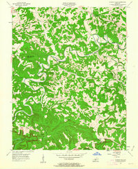
1954 Map of Dickeys Mills
USGS Topo · Published 1963About this map
Nolin River winds through the heart of this central Kentucky landscape, carving a deep path through the limestone-heavy terrain of Grayson and Edmonson counties. The settlement at Dickeys Mills sits at a critical bend in the river, served by a Gaging Station that monitored the fluctuating waters. To the south, the boundary of Mammoth Cave National Park encompasses a complex network of hills and hollows, including distinctive landmarks like Whistle Mountain and Dismal Rock.
Find a feature on this map
46 named features on this map. Tap any name to fly to it.
Don’t see what you’re looking for? This feature index may not catch every label — zoom into the map to look around manually.
Map Details
Editions of this 1954 Dickeys Mills Map
2 editions found
Other maps of this area

1922 · Leitchfield
USGS Topo · 1:48,000

1922 · Brownsville
USGS Topo · 1:62,500

1922 · Mammoth Cave
USGS Topo · 1:62,500

1923 · Mammoth Cave
USGS Topo · 1:62,500

1923 · Brownsville
USGS Topo · 1:62,500

1925 · Cub Run
USGS Topo · 1:62,500

1925 · Leitchfield
USGS Topo · 1:62,500

1953 · Bee Spring
USGS Topo · 1:24,000

1954 · Evansville
USGS Topo · 1:250,000
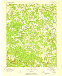
1954 · Dickeys Mills
USGS Topo · 1:24,000