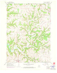
1961 Map of Dickeyville
USGS Topo · Published 1973About this map
Dickeyville anchors the southern edge of this Grant County landscape, where the confluence of the Little Platte River and the Platte River dictates the local topography. This 1961 survey, with revisions from 1972, documents a rural environment shaped by agriculture and the region's mining heritage. Industrial activity is visible in the hills east of the river, specifically at the Little Grant Mine and several noted Quarry sites.
Find a feature on this map
30 named features on this map. Tap any name to fly to it.
Don’t see what you’re looking for? This feature index may not catch every label — zoom into the map to look around manually.
Map Details
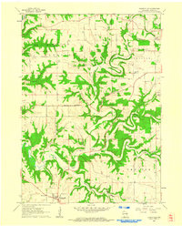
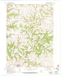
Editions of this 1961 Dickeyville Map
3 editions found
Other maps of this area

1900 · Lancaster
USGS Topo · 1:125,000

1902 · Mineral Point
USGS Topo · 1:125,000

1904 · Lancaster
USGS Topo · 1:125,000

1908 · Lancaster
USGS Topo · 1:125,000

1952 · Platteville
USGS Topo · 1:24,000

1952 · Rewey
USGS Topo · 1:24,000

1952 · Cuba City
USGS Topo · 1:24,000

1956 · Dubuque North
USGS Topo · 1:24,000

1957 · Potosi
USGS Topo · 1:24,000

1959 · Dubuque
USGS Topo · 1:250,000