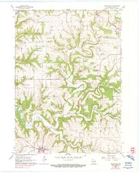
1961 Map of Dickeyville
USGS Topo · Published 1990About this map
Dickeyville anchors the southwest corner of this Grant County landscape, where the Little Platte River meanders through deep valleys and sharp ridges. The terrain in the early 1960s is defined by a network of rural schoolhouses and country churches, including Center Sch and Mt Zion Ch, which served the farming communities of Harrison and Smelser townships. The map reflects a classic mid-century Midwestern transition, showing established homesteads alongside newer developments like the Platteville Airport.
Find a feature on this map
30 named features on this map. Tap any name to fly to it.
Don’t see what you’re looking for? This feature index may not catch every label — zoom into the map to look around manually.
Map Details
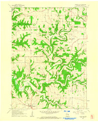
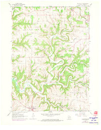
Editions of this 1961 Dickeyville Map
3 editions found
Other maps of this area

1900 · Lancaster
USGS Topo · 1:125,000

1902 · Mineral Point
USGS Topo · 1:125,000

1904 · Lancaster
USGS Topo · 1:125,000

1908 · Lancaster
USGS Topo · 1:125,000

1952 · Platteville
USGS Topo · 1:24,000

1952 · Rewey
USGS Topo · 1:24,000

1952 · Cuba City
USGS Topo · 1:24,000

1956 · Dubuque North
USGS Topo · 1:24,000

1957 · Potosi
USGS Topo · 1:24,000

1959 · Dubuque
USGS Topo · 1:250,000