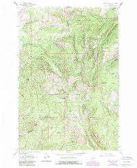
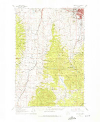
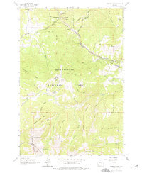
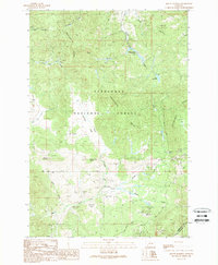
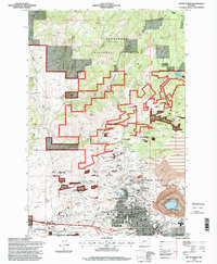
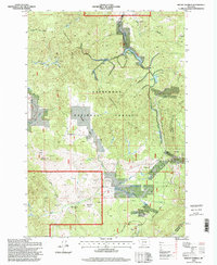
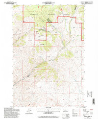
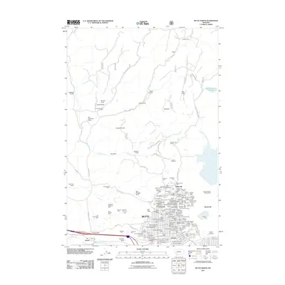
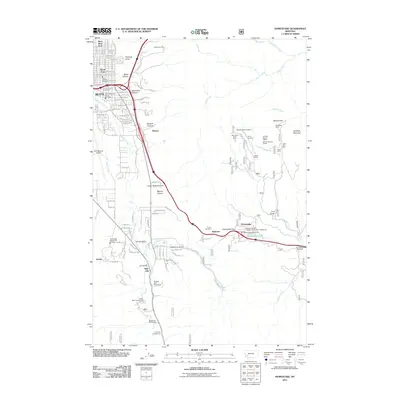
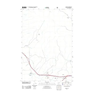
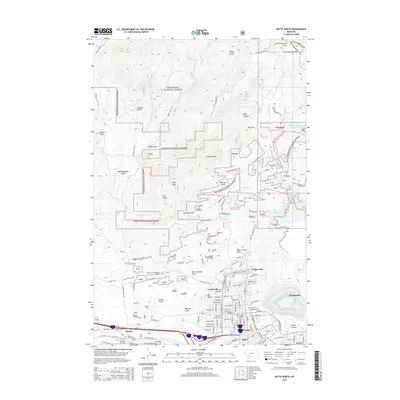
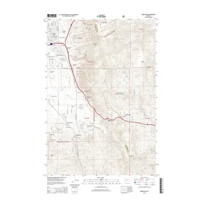
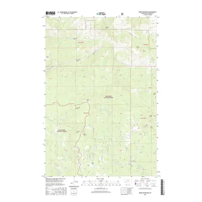
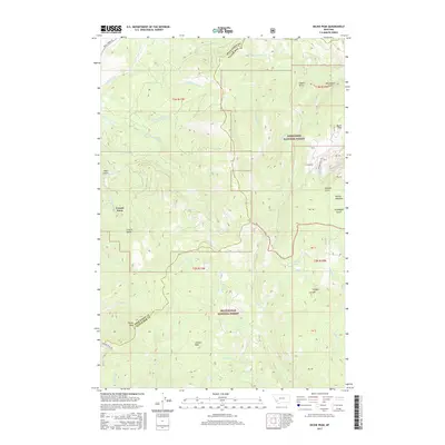
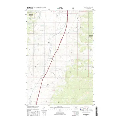
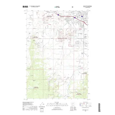
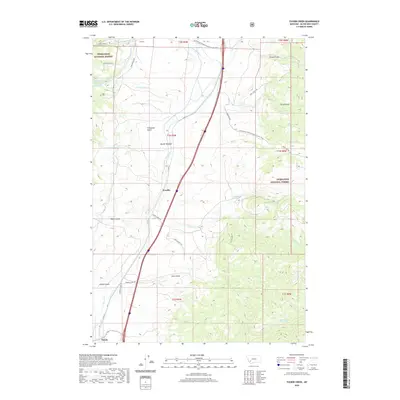
1961 Map of Dickie Peak
USGS Topo · Published 1989About this map
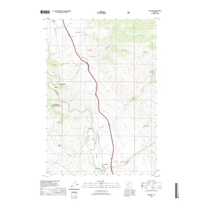
The Continental Divide winds through this high-altitude landscape on the border of Deerlodge National Forest and Beaverhead National Forest. This 1961 survey, photorevised in 1988, documents the remote terrain of the Mount Haggin Wildlife Management Area and the rugged boundary between Deer Lodge and Silver Bow counties. Small outposts of human activity are scattered throughout the drainages, including French Town and Johnson Park, while the Pine Dale Cow Cabin sits along the upper reaches of the creek network.
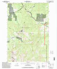
Find a feature on this map
39 named features on this map. Tap any name to fly to it.
Don’t see what you’re looking for? This feature index may not catch every label — zoom into the map to look around manually.
Map Details
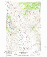
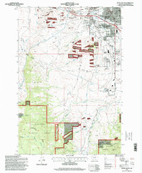
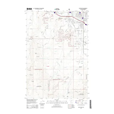
Editions of this 1961 Dickie Peak Map
2 editions found
Historical Maps of Butte Through Time
86 maps found
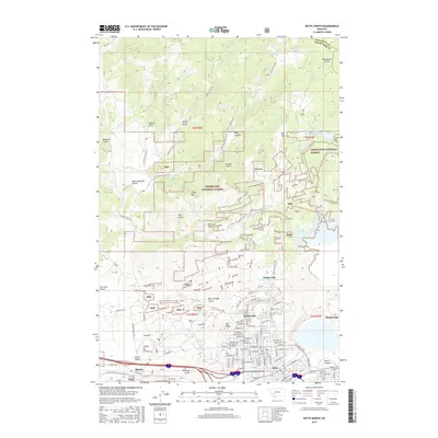
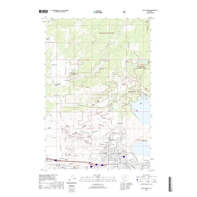
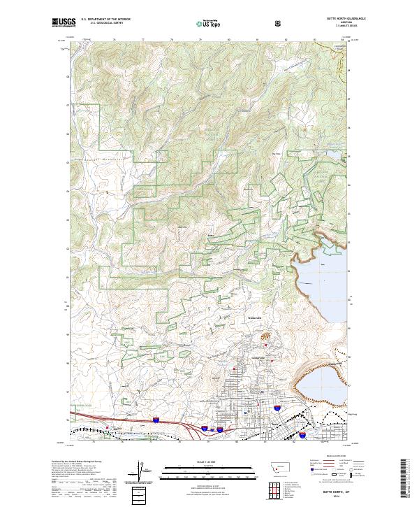
1959 Butte North
Silver Bow County, MT
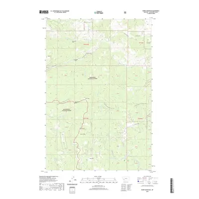
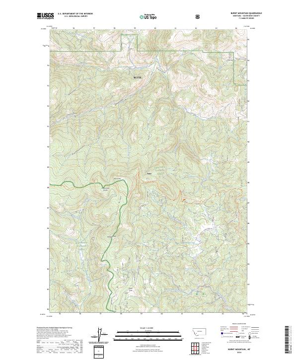
1961 Burnt Mountain
Silver Bow County, MT
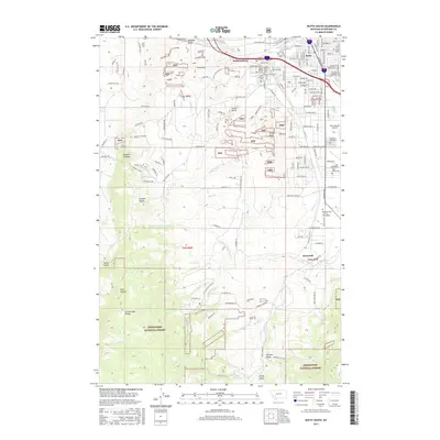
1961 Butte South
Silver Bow County, MT
1961 Dickie Peak
Silver Bow County, MT
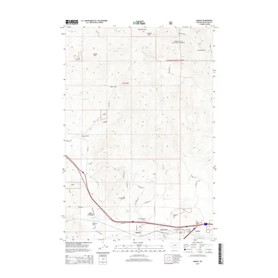
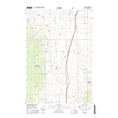
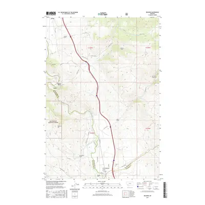
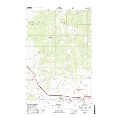
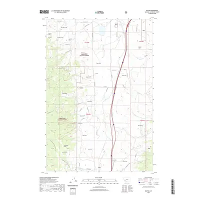
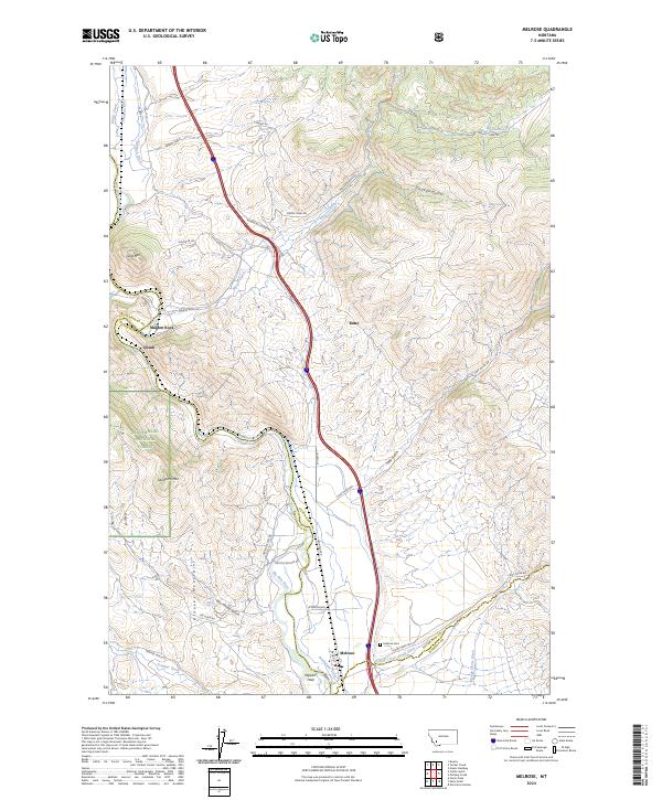
1961 Melrose
Silver Bow County, MT
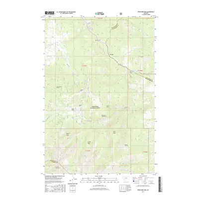
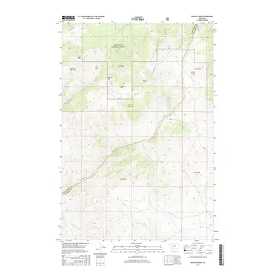
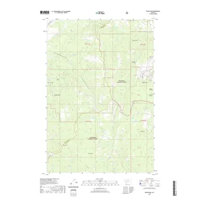
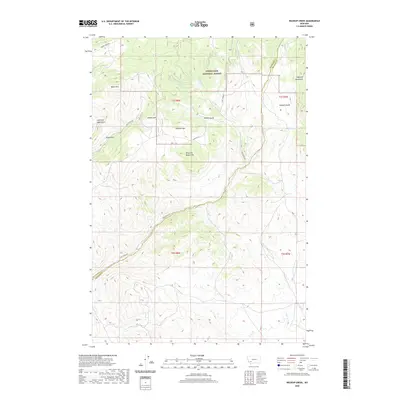
1961 Wickiup Creek
Silver Bow County, MT
1963 Homestake
Silver Bow County, MT
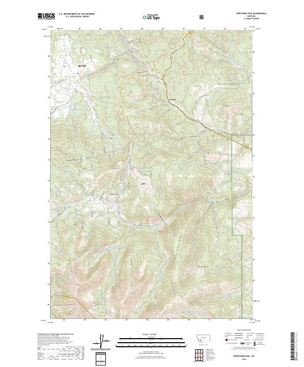
1963 Pipestone Pass
Silver Bow County, MT
1989 Butte North
Silver Bow County, MT
1989 Butte South
Silver Bow County, MT
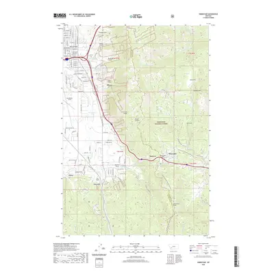
1989 Buxton
Silver Bow County, MT
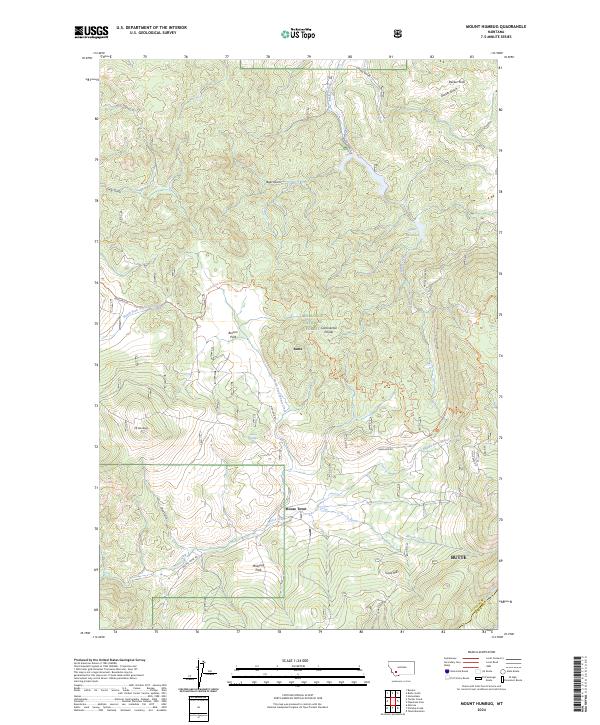
1989 Mount Humbug
Silver Bow County, MT
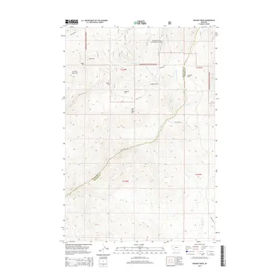
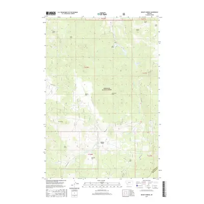
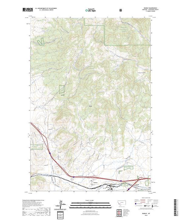
1989 Ramsay
Silver Bow County, MT
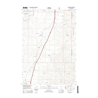
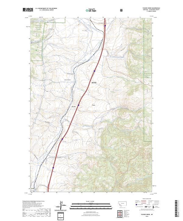
1989 Tucker Creek
Silver Bow County, MT
1996 Burnt Mountain
Silver Bow County, MT
1996 Butte North
Silver Bow County, MT
1996 Butte South
Silver Bow County, MT
1996 Buxton
Silver Bow County, MT
1996 Homestake
Silver Bow County, MT
1996 Mount Humbug
Silver Bow County, MT
1996 Pipestone Pass
Silver Bow County, MT
1996 Ramsay
Silver Bow County, MT
1996 Tucker Creek
Silver Bow County, MT
1996 Wickiup Creek
Silver Bow County, MT
1997 Dickie Peak
Silver Bow County, MT
1997 Melrose
Silver Bow County, MT
2011 Burnt Mountain
Silver Bow County, MT
2011 Butte North
Silver Bow County, MT
2011 Butte South
Silver Bow County, MT
2011 Buxton
Silver Bow County, MT
2011 Dickie Peak
Silver Bow County, MT
2011 Homestake
Silver Bow County, MT
2011 Melrose
Silver Bow County, MT
2011 Mount Humbug
Silver Bow County, MT
2011 Pipestone Pass
Silver Bow County, MT
2011 Ramsay
Silver Bow County, MT
2011 Tucker Creek
Silver Bow County, MT
2011 Wickiup Creek
Silver Bow County, MT
2014 Burnt Mountain
Silver Bow County, MT
2014 Butte North
Silver Bow County, MT
2014 Butte South
Silver Bow County, MT
2014 Buxton
Silver Bow County, MT
2014 Dickie Peak
Silver Bow County, MT
2014 Homestake
Silver Bow County, MT
2014 Melrose
Silver Bow County, MT
2014 Mount Humbug
Silver Bow County, MT
2014 Pipestone Pass
Silver Bow County, MT
2014 Ramsay
Silver Bow County, MT
2014 Tucker Creek
Silver Bow County, MT
2014 Wickiup Creek
Silver Bow County, MT
2017 Burnt Mountain
Silver Bow County, MT
2017 Butte North
Silver Bow County, MT
2017 Butte South
Silver Bow County, MT
2017 Buxton
Silver Bow County, MT
2017 Dickie Peak
Silver Bow County, MT

2017 Homestake
Silver Bow County, MT
2017 Melrose
Silver Bow County, MT
2017 Mount Humbug
Silver Bow County, MT
2017 Pipestone Pass
Silver Bow County, MT
2017 Ramsay
Silver Bow County, MT
2017 Tucker Creek
Silver Bow County, MT
2017 Wickiup Creek
Silver Bow County, MT
2020 Burnt Mountain
Silver Bow County, MT
2020 Butte North
Silver Bow County, MT
2020 Butte South
Silver Bow County, MT
2020 Buxton
Silver Bow County, MT
2020 Dickie Peak
Silver Bow County, MT
2020 Homestake
Silver Bow County, MT
2020 Melrose
Silver Bow County, MT
2020 Mount Humbug
Silver Bow County, MT
2020 Pipestone Pass
Silver Bow County, MT
2020 Ramsay
Silver Bow County, MT
2020 Tucker Creek
Silver Bow County, MT
2020 Wickiup Creek
Silver Bow County, MT
2024 Burnt Mountain
Silver Bow County, MT
2024 Butte North
Silver Bow County, MT
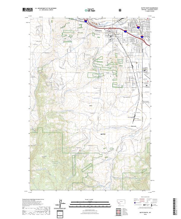
2024 Butte South
Silver Bow County, MT
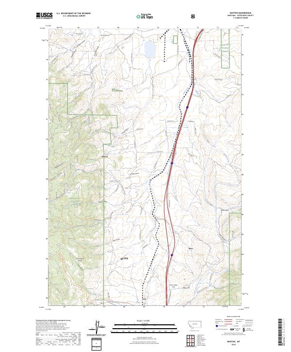
2024 Buxton
Silver Bow County, MT
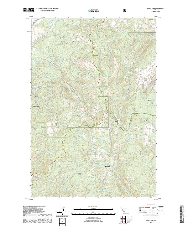
2024 Dickie Peak
Silver Bow County, MT
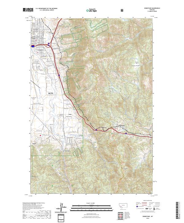
2024 Homestake
Silver Bow County, MT
2024 Melrose
Silver Bow County, MT
2024 Mount Humbug
Silver Bow County, MT
2024 Pipestone Pass
Silver Bow County, MT
2024 Ramsay
Silver Bow County, MT
2024 Tucker Creek
Silver Bow County, MT
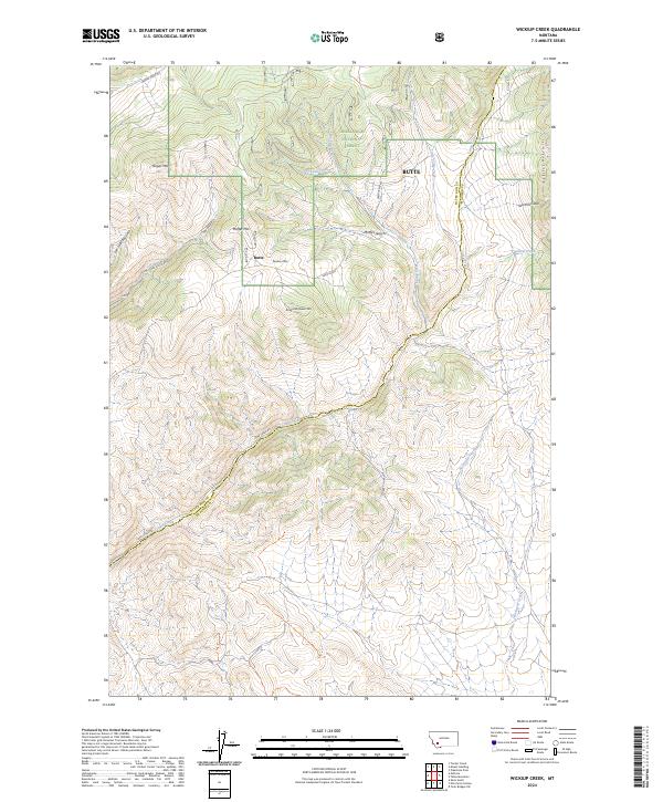
2024 Wickiup Creek
Silver Bow County, MT