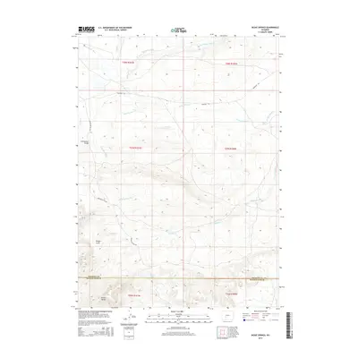
2015 Map of Dickie Springs
USGS Topo · Published 2015About this map
The Continental Divide bisects this high-elevation landscape where Fremont and Sweetwater counties meet, marking a pivotal geography for early western travelers. The historic Emigrant Trl winds across the northern half of the sheet, tracing a path north of Dickie Springs Cr toward the Sweetwater River. This route was the primary corridor for thousands moving west, and its preservation here highlights the relationship between natural water sources like Edmund Springs and the survival of those on the trail.
Find a feature on this map
22 named features on this map. Tap any name to fly to it.
Don’t see what you’re looking for? This feature index may not catch every label — zoom into the map to look around manually.
Map Details
Editions of this 2015 Dickie Springs Map
This is the sole edition of this map. No revisions or reprints were ever made.
Other maps of this area

1953 · Atlantic City
USGS Topo · 1:24,000

1953 · South Pass City
USGS Topo · 1:24,000

1955 · Lander
USGS Topo · 1:250,000

1958 · Lander
USGS Topo · 1:250,000

1958 · Pacific Springs
USGS Topo · 1:24,000

1958 · Freighter Gap
USGS Topo · 1:62,500

1958 · The Pinnacles
USGS Topo · 1:62,500

1958 · Dickie Springs
USGS Topo · 1:24,000

1958 · Continental Peak
USGS Topo · 1:24,000

1961 · Lander
USGS Topo · 1:250,000