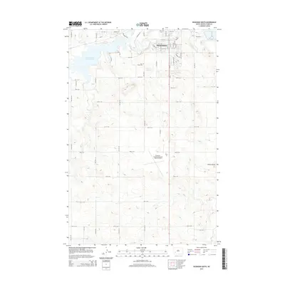
2014 Map of Dickinson South
USGS Topo · Published 2014About this map
Dickinson serves as the focal point of this Stark County landscape, where the Heart River flows eastward toward the town center. The topography is defined by the transition from the developed streets of the city to the surrounding prairie and high ground, most notably the Dobson Buttes in the southeast corner. Water management is a central feature of the local geography, represented by the expansive Edward Arthur Patterson Lake and its associated drainage through Duck Cr and Ash Cr. To the south, the Dickinson - Theodore Roosevelt Regional Airport occupies a significant plateau, illustrating the mid-century expansion of regional infrastructure. For those interested in local heritage, the Saint Joseph Cem remains a primary landmark north of 20th St SW, while the intricate grid of rural roads like 115th Ave SW and 114th Ave SW provides a clear view of land division in this part of North Dakota.
Find a feature on this map
45 named features on this map. Tap any name to fly to it.
Don’t see what you’re looking for? This feature index may not catch every label — zoom into the map to look around manually.
Map Details
Editions of this 2014 Dickinson South Map
This is the sole edition of this map. No revisions or reprints were ever made.
Other maps of this area

1953 · Dickinson
USGS Topo · 1:250,000

1957 · Dickinson
USGS Topo · 1:250,000

1959 · Dickinson North
USGS Topo · 1:24,000

1959 · Dickinson South
USGS Topo · 1:24,000

1959 · Lehigh
USGS Topo · 1:24,000

1962 · Davis Buttes
USGS Topo · 1:24,000

1973 · Lefor NW
USGS Topo · 1:24,000

1973 · New Hradec South
USGS Topo · 1:24,000

1973 · New England NW
USGS Topo · 1:24,000

1973 · Schefield
USGS Topo · 1:24,000