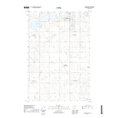
2017 Map of Dickinson South
USGS Topo · Published 2017About this map
The Heart River winds through the northern edge of this Stark County landscape, where the southern reaches of Dickinson meet the open prairie. Much of the local topography is defined by the expansive Edward Arthur Patterson Lake, a significant water body created by the damming of the river. To the south, the terrain transitions into the high ground of Dobson Buttes, overlooking a network of drainage ways including Ash Cr, Duck Cr, and Dry Cr.
Find a feature on this map
53 named features on this map. Tap any name to fly to it.
Don’t see what you’re looking for? This feature index may not catch every label — zoom into the map to look around manually.
Map Details
Editions of this 2017 Dickinson South Map
This is the sole edition of this map. No revisions or reprints were ever made.
Other maps of this area

1953 · Dickinson
USGS Topo · 1:250,000

1957 · Dickinson
USGS Topo · 1:250,000

1959 · Dickinson North
USGS Topo · 1:24,000

1959 · Dickinson South
USGS Topo · 1:24,000

1959 · Lehigh
USGS Topo · 1:24,000

1962 · Davis Buttes
USGS Topo · 1:24,000

1973 · Lefor NW
USGS Topo · 1:24,000

1973 · New Hradec South
USGS Topo · 1:24,000

1973 · New England NW
USGS Topo · 1:24,000

1973 · Schefield
USGS Topo · 1:24,000