
1953 Map of Dickson
USGS Topo · Published 1957About this map
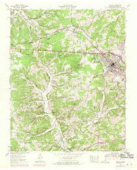
Dickson serves as the regional hub in this mid-century survey, situated at a critical rail junction where the Nashville Chattanooga and St Louis railway dominates the local infrastructure. The landscape reveals a transition from industrial activity to rural settlement, marked by abandoned iron mines north of Dickson Lake and a widespread network of family cemeteries such as Sullivan Cem, Yates Cem, and Donegan Cem. This era shows a high density of small community centers, with Coaling Sch and Robinson Chapel anchoring the neighborhoods outside the main township.
Find a feature on this map
82 named features on this map. Tap any name to fly to it.
Don’t see what you’re looking for? This feature index may not catch every label — zoom into the map to look around manually.
Map Details
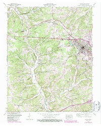
Editions of this 1953 Dickson Map
3 editions found
Other maps of this area

1901 · Colombia
USGS Topo · 1:125,000

1936 · Ruskin
USGS Topo · 1:24,000

1936 · Texas Hollow
USGS Topo · 1:24,000

1936 · Spot
USGS Topo · 1:24,000

1936 · Burns
USGS Topo · 1:24,000

1936 · Lyles
USGS Topo · 1:24,000

1936 · Tennessee City
USGS Topo · 1:24,000

1936 · Dickson
USGS Topo · 1:24,000
1952 · Spot
USGS Topo · 1:24,000
1952 · Texas Hollow
USGS Topo · 1:24,000