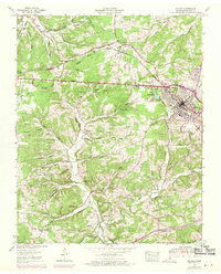
1953 Map of Dickson
USGS Topo · Published 1970About this map
The Tennessee Valley Divide cuts across this landscape, separating the headwaters of the Piney River from the northward-flowing Yellow Creek. This terrain is deeply etched by family-named hollows and springs, reflecting a long-established rural settlement pattern where life followed the contours of the land. At the center of the local economy and movement is the Louisville and Nashville Railroad, which runs parallel to the Broadway of America, connecting the growing center of Dickson to the surrounding agricultural countryside.
Find a feature on this map
70 named features on this map. Tap any name to fly to it.
Don’t see what you’re looking for? This feature index may not catch every label — zoom into the map to look around manually.
Map Details
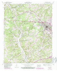
Editions of this 1953 Dickson Map
3 editions found

Other maps of this area

1901 · Colombia
USGS Topo · 1:125,000

1936 · Ruskin
USGS Topo · 1:24,000

1936 · Texas Hollow
USGS Topo · 1:24,000

1936 · Spot
USGS Topo · 1:24,000

1936 · Burns
USGS Topo · 1:24,000

1936 · Lyles
USGS Topo · 1:24,000

1936 · Tennessee City
USGS Topo · 1:24,000

1936 · Dickson
USGS Topo · 1:24,000
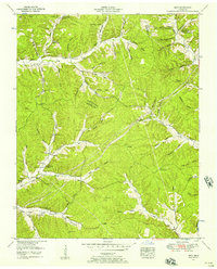
1952 · Spot
USGS Topo · 1:24,000
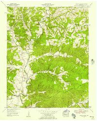
1952 · Texas Hollow
USGS Topo · 1:24,000