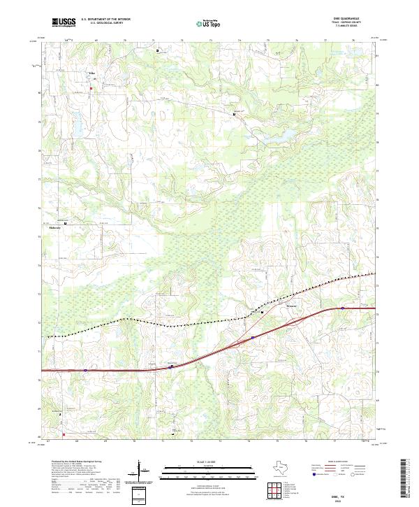
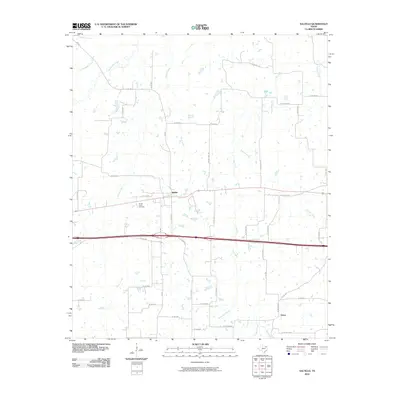
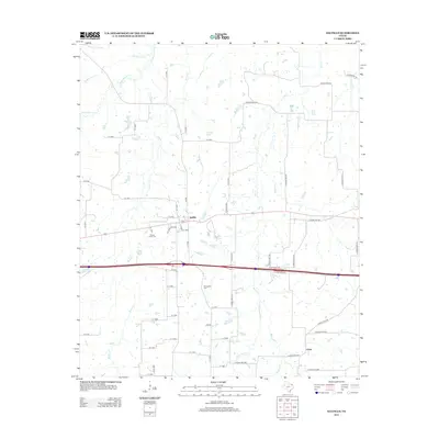
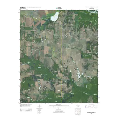
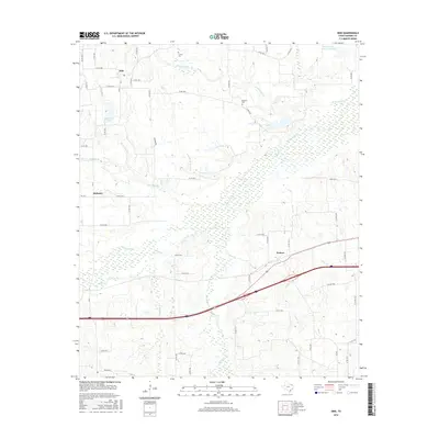
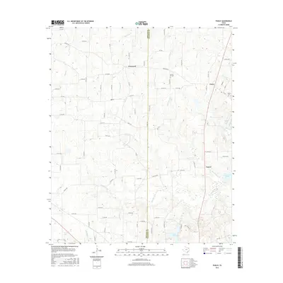
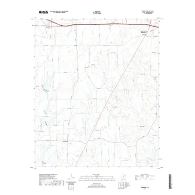
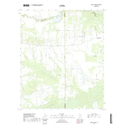
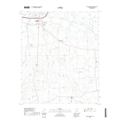
2022 Map of Dike
USGS Topo · Published 2022About this map
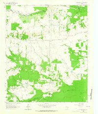
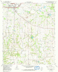
The unincorporated community of Dike and the nearby settlements of Mahoney and Weaver characterize this rural landscape in Hopkins County. Historically significant family and community burial grounds, such as Mahoney Cem, Weaver Cem, and East Caney Cem, are scattered across the terrain, offering essential coordinates for genealogical research. The local geography is defined by a complex network of waterways, including the winding White Oak Creek and its many tributaries like Black Jack Branch and Lollars Branch. These creek bottoms and lowlands alternate with open pastures and timbered tracts, reflecting the enduring agricultural character of the region. Interstate 30 cuts through the southern portion of the area near the Spence Cemetery, providing a modern contrast to the older country road network that still connects these historic East Texas communities.
Find a feature on this map
64 named features on this map. Tap any name to fly to it.
Don’t see what you’re looking for? This feature index may not catch every label — zoom into the map to look around manually.
Map Details
Editions of this 2022 Dike Map
This is the sole edition of this map. No revisions or reprints were ever made.
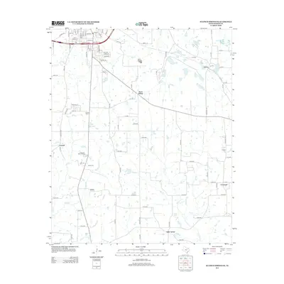
Historical Maps of Brinker Through Time
54 maps found
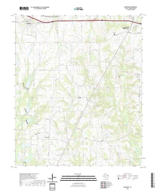
1962 Brashear
Hopkins County, TX
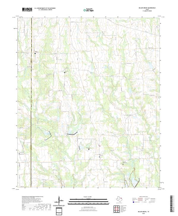
1962 Miller Grove
Hopkins County, TX
1962 Sulphur Bluff
Hopkins County, TX
1963 Mitchell Creek
Hopkins County, TX
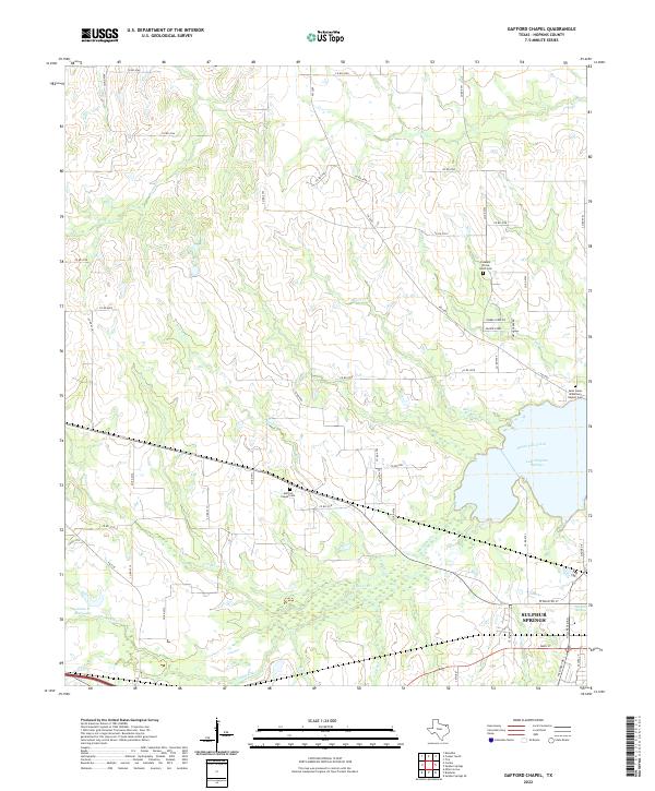
1964 Gafford Chapel
Hopkins County, TX
1964 Purley
Hopkins County, TX
1964 Saltillo
Hopkins County, TX
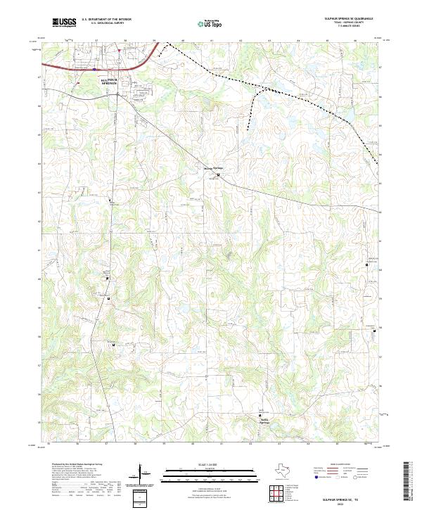
1964 Sulphur Springs SE
Hopkins County, TX
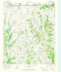
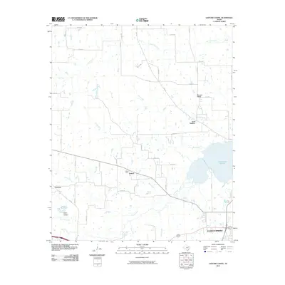
1965 Dike
Hopkins County, TX
2010 Brashear
Hopkins County, TX
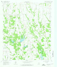
2010 Dike
Hopkins County, TX
2010 Gafford Chapel
Hopkins County, TX
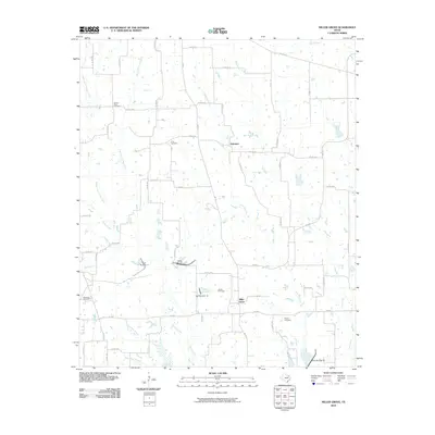
2010 Miller Grove
Hopkins County, TX
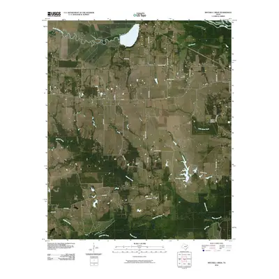
2010 Mitchell Creek
Hopkins County, TX
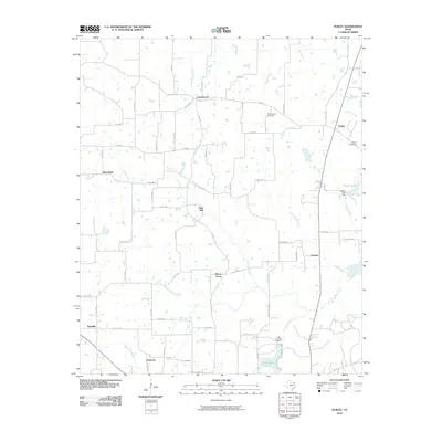
2010 Purley
Hopkins County, TX
2010 Saltillo
Hopkins County, TX
2010 Sulphur Bluff
Hopkins County, TX
2010 Sulphur Springs SE
Hopkins County, TX
2012 Miller Grove
Hopkins County, TX
2012 Saltillo
Hopkins County, TX
2012 Sulphur Springs SE
Hopkins County, TX
2013 Brashear
Hopkins County, TX
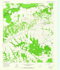
2013 Dike
Hopkins County, TX

2013 Gafford Chapel
Hopkins County, TX
2013 Mitchell Creek
Hopkins County, TX
2013 Purley
Hopkins County, TX
2013 Sulphur Bluff
Hopkins County, TX
2016 Brashear
Hopkins County, TX
2016 Dike
Hopkins County, TX
2016 Gafford Chapel
Hopkins County, TX
2016 Miller Grove
Hopkins County, TX
2016 Mitchell Creek
Hopkins County, TX
2016 Purley
Hopkins County, TX
2016 Saltillo
Hopkins County, TX
2016 Sulphur Bluff
Hopkins County, TX
2016 Sulphur Springs SE
Hopkins County, TX
2019 Brashear
Hopkins County, TX
2019 Dike
Hopkins County, TX
2019 Gafford Chapel
Hopkins County, TX
2019 Miller Grove
Hopkins County, TX
2019 Mitchell Creek
Hopkins County, TX
2019 Purley
Hopkins County, TX
2019 Saltillo
Hopkins County, TX
2019 Sulphur Bluff
Hopkins County, TX
2019 Sulphur Springs SE
Hopkins County, TX
2022 Brashear
Hopkins County, TX
2022 Dike
Hopkins County, TX
2022 Gafford Chapel
Hopkins County, TX
2022 Miller Grove
Hopkins County, TX
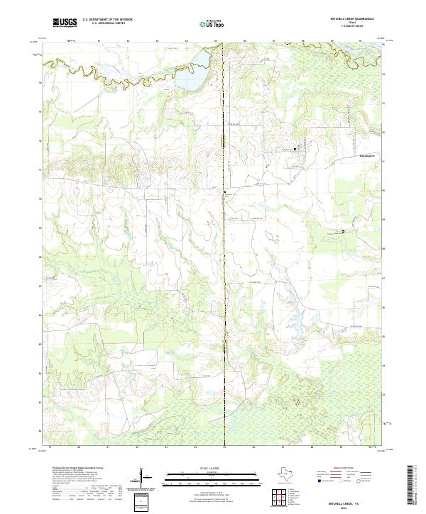
2022 Mitchell Creek
Hopkins County, TX
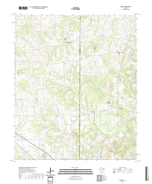
2022 Purley
Hopkins County, TX
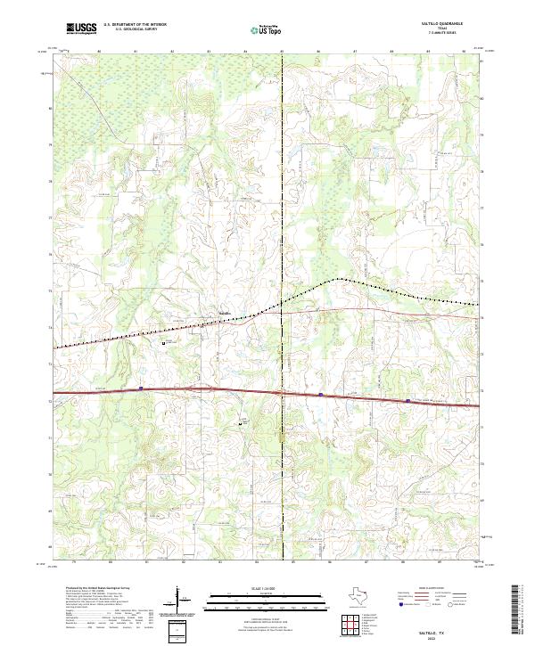
2022 Saltillo
Hopkins County, TX
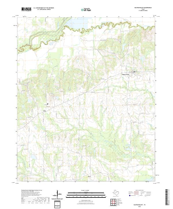
2022 Sulphur Bluff
Hopkins County, TX
2022 Sulphur Springs SE
Hopkins County, TX