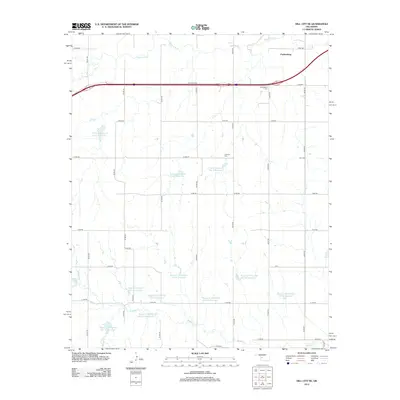
2012 Map of Dill City NE
USGS Topo · Published 2012About this map
Parkersburg and its surrounding agricultural landscape are defined by the winding course of the Washita River and a sophisticated network of water management projects. By the early 21st century, the terrain was dotted with numerous reservoirs belonging to the S Clinton Laterals and the Boggy Cr Watershed systems, reflecting the region's long-term investment in soil conservation and flood control. The map reveals the quiet persistence of early settlement history through several burial grounds, including the Parkersburg Cem, the Lutheran Cem, and the Guy Cem, which serve as vital markers for genealogists. The grid of section roads like n2210 RD and e1070 RD organizes the prairie, while the Washita River and its tributaries, such as Turkey Cr and Boggy Cr, provide the natural drainage that has shaped farming in this part of Custer County for generations.
Find a feature on this map
39 named features on this map. Tap any name to fly to it.
Don’t see what you’re looking for? This feature index may not catch every label — zoom into the map to look around manually.
Map Details
Editions of this 2012 Dill City NE Map
This is the sole edition of this map. No revisions or reprints were ever made.
Other maps of this area

1955 · Clinton
USGS Topo · 1:250,000

1956 · Cordell
USGS Topo · 1:62,500

1957 · Clinton
USGS Topo · 1:250,000

1957 · Butler
USGS Topo · 1:62,500

1957 · Clinton
USGS Topo · 1:62,500

1957 · Dill City
USGS Topo · 1:62,500

1976 · Butler SW
USGS Topo · 1:24,000

1976 · Dill City NE
USGS Topo · 1:24,000

1976 · Dill City SE
USGS Topo · 1:24,000

1976 · Clinton SW
USGS Topo · 1:24,000