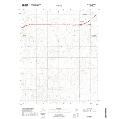
2018 Map of Dill City NE
USGS Topo · Published 2018About this map
The Washita River sweeps across the northern reaches of this Custer and Washita County landscape, where the settlement of Clinton sits along the eastern edge. This 2018 survey reveals a modern agricultural and water management network, dominated by a dense series of upland catchments including the Boggy Cr Watershed Site 16 Reservoir and various South Clinton Laterals Site 3 Reservoir locations. These man-made features sit atop the headwaters of Boggy Cr and Turkey Cr, showing how the local terrain has been shaped to manage Oklahoma's watershed. For those tracing local heritage, several burial sites are preserved across the sections, including Parkersburg Cem near the northern boundary, the centrally located Lutheran Cem, and Guy Cem further east. The map also documents the alignment of Old 66 Frontage Rd, providing a look at the modern legacy of the historic highway corridor.
Find a feature on this map
47 named features on this map. Tap any name to fly to it.
Don’t see what you’re looking for? This feature index may not catch every label — zoom into the map to look around manually.
Map Details
Editions of this 2018 Dill City NE Map
This is the sole edition of this map. No revisions or reprints were ever made.
Other maps of this area

1955 · Clinton
USGS Topo · 1:250,000

1956 · Cordell
USGS Topo · 1:62,500

1957 · Clinton
USGS Topo · 1:250,000

1957 · Butler
USGS Topo · 1:62,500

1957 · Clinton
USGS Topo · 1:62,500

1957 · Dill City
USGS Topo · 1:62,500

1976 · Butler SW
USGS Topo · 1:24,000

1976 · Dill City NE
USGS Topo · 1:24,000

1976 · Dill City SE
USGS Topo · 1:24,000

1976 · Clinton SW
USGS Topo · 1:24,000