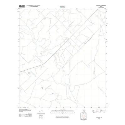
2010 Map of Dilley NE
USGS Topo · Published 2010About this map
The Frio River defines the drainage of this Frio County landscape, winding through a region marked by cattle ranching and water management infrastructure. This 2010 topographic survey documents the hydrological features essential to the local economy, including the Thompson Lake Dam and the Burns Reservoir Dam. The network of backroads and crossings, such as Paso De Piedra Rd and Martin Branch Rd, highlights the rural connectivity between scattered agricultural holdings. Tributaries like Lockhart Creek and Mule Creek feed into the primary river system, illustrating the natural watercourses that have historically dictated land use and settlement patterns in this part of South Texas.
Find a feature on this map
10 named features on this map. Tap any name to fly to it.
Don’t see what you’re looking for? This feature index may not catch every label — zoom into the map to look around manually.
Map Details
Editions of this 2010 Dilley NE Map
This is the sole edition of this map. No revisions or reprints were ever made.
Other maps of this area

1925 · Pearsall 1-c
USGS Topo · 1:48,000

1927 · Pearsall
USGS Topo · 1:62,500

1934 · Schattel
USGS Topo · 1:62,500

1942 · Dilley
USGS Topo · 1:62,500

1953 · Crystal City
USGS Topo · 1:250,000

1955 · Crystal City
USGS Topo · 1:250,000

1956 · Hindes
USGS Topo · 1:62,500

1961 · Crystal City
USGS Topo · 1:250,000

1964 · Pearsall South
USGS Topo · 1:24,000
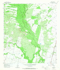
1964 · Derby
USGS Topo · 1:24,000