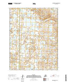
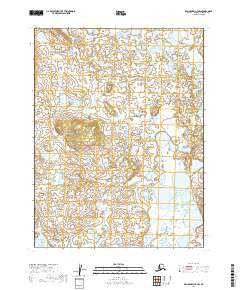
2019 Map of Dillingham A-4 NE
USGS Topo · Published 2019About this map
Lookout Creek defines the hydrography of this northern Alaskan landscape, winding through a complex network of wetlands and small lakes. The map documents the boundary between the Dillingham Census Area and the Lake and Peninsula Borough, a division of significance for regional administrative history. This 2019 survey illustrates the intricate mosaic of water and low-lying land typical of the region's tundra ecosystems. While devoid of permanent settlements or structures, the map provides precise topographic detail for the townships of t11s r48w, t11s r47w, t12s r48w, and t12s r47w, serving as a foundational record for researchers tracking environmental change or navigating the backcountry of southwest Alaska.
Find a feature on this map
6 named features on this map. Tap any name to fly to it.
Don’t see what you’re looking for? This feature index may not catch every label — zoom into the map to look around manually.
Map Details
Editions of this 2019 Dillingham A-4 NE Map
This is the sole edition of this map. No revisions or reprints were ever made.
Other maps of this area

1951 · Dillingham
USGS Topo · 1:250,000

1952 · Dillingham A-4
USGS Topo · 1:63,360

1952 · Dillingham A-3
USGS Topo · 1:63,360

1954 · Dillingham
USGS Topo · 1:250,000

1954 · Dillingham B-4
USGS Topo · 1:63,360

1954 · Dillingham B-3
USGS Topo · 1:63,360
2019 · Dillingham A-3 NW
USGS Topo · 1:25,000
2019 · Dillingham B-4 SW
USGS Topo · 1:25,000
2019 · Dillingham B-3 SW
USGS Topo · 1:25,000
2019 · Dillingham A-4 SW
USGS Topo · 1:25,000