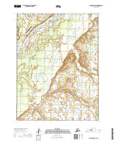
2019 Map of Dillingham B-4 SW
USGS Topo · Published 2019About this map
Ekwok sits along the northern banks of the winding Nushagak River, serving as a primary settlement in this riverine landscape. The village's local infrastructure is detailed through neighborhood roads like 6th Street and Housing Road, while the nearby Ekwok Airport provides the essential transit link to the surrounding region. The hydrology of the area is defined by the complex drainage patterns of Klutuk Cr and its southern counterpart, Lower Klutuk Cr, which weave through the wetlands and lowlands characteristic of the Dillingham Census Area. Further south, Lookout Cr meanders across the terrain, illustrating the seasonal water shifts in this subarctic environment. This 2019 survey captures the interface between the established village footprint and the natural water systems that dictate the movement and settlement patterns of the river valley.
Find a feature on this map
15 named features on this map. Tap any name to fly to it.
Don’t see what you’re looking for? This feature index may not catch every label — zoom into the map to look around manually.
Map Details
Editions of this 2019 Dillingham B-4 SW Map
This is the sole edition of this map. No revisions or reprints were ever made.
Other maps of this area

1951 · Dillingham
USGS Topo · 1:250,000

1952 · Dillingham A-5
USGS Topo · 1:63,360

1952 · Dillingham A-4
USGS Topo · 1:63,360

1954 · Dillingham
USGS Topo · 1:250,000

1954 · Dillingham B-4
USGS Topo · 1:63,360
1954 · Dillingham B-5
USGS Topo · 1:63,360
2019 · Dillingham B-4 NW
USGS Topo · 1:25,000
2019 · Dillingham A-5 NE
USGS Topo · 1:25,000
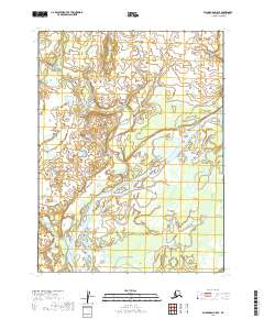
2019 · Dillingham B-5 SE
USGS Topo · 1:25,000
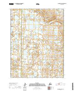
2019 · Dillingham A-4 NE
USGS Topo · 1:25,000