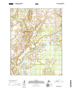
2019 Map of Dillingham B-5 SE
USGS Topo · Published 2019About this map
Ekwok sits on the high banks overlooking the massive Nushagak River system in this southwestern Alaska landscape. The terrain is defined by the braided channels and low-lying wetlands typical of the Dillingham Census Area, where the Kokwok River converges with the Nushagak. This 2019 survey documents a complex network of smaller tributaries including Koklong Cr, Lookout Cr, and Lower Klutuk Creek that wind through the tundra. The settlement of Ekwok serves as a primary point of human activity in an area otherwise characterized by natural watercourses and the seasonal ebb and flow of the river delta. The map provides a detailed view of the local hydrology and topographical contours that shape the region's subsistence and travel patterns.
Find a feature on this map
13 named features on this map. Tap any name to fly to it.
Don’t see what you’re looking for? This feature index may not catch every label — zoom into the map to look around manually.
Map Details
Editions of this 2019 Dillingham B-5 SE Map
This is the sole edition of this map. No revisions or reprints were ever made.
Other maps of this area

1951 · Dillingham
USGS Topo · 1:250,000

1952 · Dillingham A-5
USGS Topo · 1:63,360

1952 · Dillingham A-4
USGS Topo · 1:63,360

1954 · Dillingham
USGS Topo · 1:250,000

1954 · Dillingham B-4
USGS Topo · 1:63,360
1954 · Dillingham B-5
USGS Topo · 1:63,360
2019 · Dillingham B-4 NW
USGS Topo · 1:25,000
2019 · Dillingham A-5 NE
USGS Topo · 1:25,000
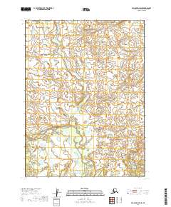
2019 · Dillingham B-5 NW
USGS Topo · 1:25,000
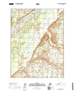
2019 · Dillingham B-4 SW
USGS Topo · 1:25,000