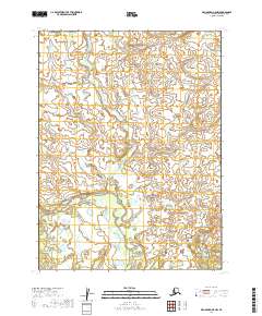
2019 Map of Dillingham B-5 NW
USGS Topo · Published 2019About this map
The Kokunok River winds through this section of the Dillingham Census Area, defining the primary drainage pattern across a landscape marked by extensive wetlands and subtle elevation changes. This 2019 survey, part of the US Topo series, illustrates the intricate hydrography of the Alaskan interior where the river creates a complex network of seasonal channels and small unnamed lakes. The map is primarily structured by the Public Land Survey System, showing the boundaries of t8s r50w, t9s r50w, and neighboring townships. While the region remains largely undeveloped, the topographical data provides a precise record of the river's course and the surrounding marshy terrain as it existed in the early 21st century.
Find a feature on this map
6 named features on this map. Tap any name to fly to it.
Don’t see what you’re looking for? This feature index may not catch every label — zoom into the map to look around manually.
Map Details
Editions of this 2019 Dillingham B-5 NW Map
This is the sole edition of this map. No revisions or reprints were ever made.
Other maps of this area

1951 · Dillingham
USGS Topo · 1:250,000

1954 · Dillingham
USGS Topo · 1:250,000

1954 · Dillingham C-6
USGS Topo · 1:63,360

1954 · Dillingham B-6
USGS Topo · 1:63,360
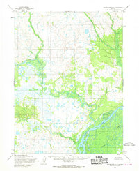
1954 · Dillingham B-5
USGS Topo · 1:63,360

1954 · Dillingham C-5
USGS Topo · 1:63,360
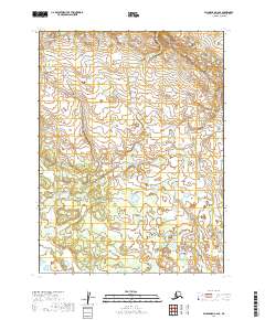
2019 · Dillingham C-6 SE
USGS Topo · 1:25,000
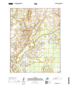
2019 · Dillingham B-5 SE
USGS Topo · 1:25,000
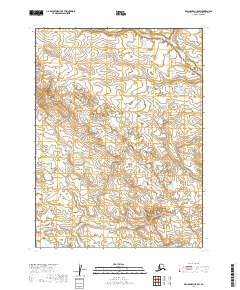
2019 · Dillingham C-5 SW
USGS Topo · 1:25,000
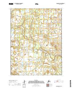
2019 · Dillingham B-6 NE
USGS Topo · 1:25,000