
1954 Map of Dillingham C-6
USGS Topo · Published 1968About this map
Kemuk Mountain rises prominently above a landscape defined by an intricate network of water and wetlands in this mid-century survey of southwestern Alaska. The terrain transition is sharp, as the elevated contours of the mountain stand in contrast to the low-lying basins of the Kokwok River and its tributaries. This territory was mapped by the Army Map Service using aerial photography from 1953, capturing the drainage patterns of Kenakuchuk Creek and Naputoli Creek as they meander through the tundra. The lack of roads or established settlements on the sheet reflects the wilderness character of the region during this era, where land lines represent unsurveyed locations predetermined by the Bureau of Land Management. Researchers will find a pristine representation of the hydrological systems that supported the traditional seasonal movement and resource gathering in the Dillingham area.
Find a feature on this map
4 named features on this map. Tap any name to fly to it.
Don’t see what you’re looking for? This feature index may not catch every label — zoom into the map to look around manually.
Map Details
Editions of this 1954 Dillingham C-6 Map
This is the sole edition of this map. No revisions or reprints were ever made.
Other maps of this area

1951 · Dillingham
USGS Topo · 1:250,000

1954 · Dillingham
USGS Topo · 1:250,000

1954 · Dillingham D-6
USGS Topo · 1:63,360

1954 · Dillingham D-7
USGS Topo · 1:63,360

1954 · Dillingham B-7
USGS Topo · 1:63,360
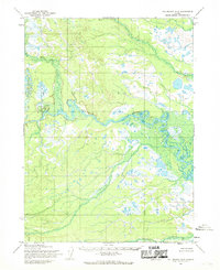
1954 · Dillingham D-5
USGS Topo · 1:63,360

1954 · Dillingham B-6
USGS Topo · 1:63,360
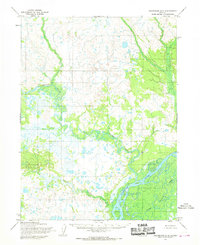
1954 · Dillingham B-5
USGS Topo · 1:63,360

1954 · Dillingham C-7
USGS Topo · 1:63,360

1954 · Dillingham C-5
USGS Topo · 1:63,360