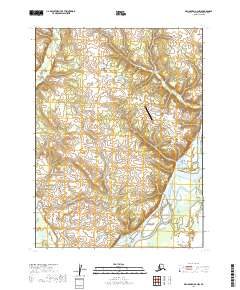
2019 Map of Dillingham B-4 NW
USGS Topo · Published 2019About this map
The braided channels of the Nushagak River dominate this landscape in the Dillingham Census Area, illustrating the complex hydrology of Southwest Alaska. The river system is a critical corridor for transport and subsistence, with its shifting sandbars and multiple channels carving through the low-lying terrain. To the north, the smaller Klutuk Cr feeds into the watershed, while human activity is concentrated around the New Stuyahok Airport. This facility, connected by the Airport Access Road and nearby Spruce Street, serves as a vital lifeline for the local community, which relies on air travel for regional connectivity. The inclusion of Landfill Road provides a precise marker for local infrastructure in this remote setting, documenting the footprint of modern settlement amidst the vast riverine environment.
Find a feature on this map
10 named features on this map. Tap any name to fly to it.
Don’t see what you’re looking for? This feature index may not catch every label — zoom into the map to look around manually.
Map Details
Editions of this 2019 Dillingham B-4 NW Map
This is the sole edition of this map. No revisions or reprints were ever made.
Other maps of this area

1951 · Dillingham
USGS Topo · 1:250,000

1954 · Dillingham
USGS Topo · 1:250,000

1954 · Dillingham B-4
USGS Topo · 1:63,360
1954 · Dillingham B-5
USGS Topo · 1:63,360

1954 · Dillingham C-4
USGS Topo · 1:63,360

1954 · Dillingham C-5
USGS Topo · 1:63,360
2019 · Dillingham B-5 SE
USGS Topo · 1:25,000
2019 · Dillingham C-4 SW
USGS Topo · 1:25,000
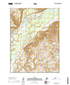
2019 · Dillingham B-4 NE
USGS Topo · 1:25,000
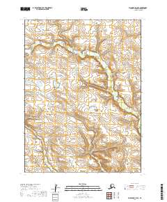
2019 · Dillingham C-5 SE
USGS Topo · 1:25,000