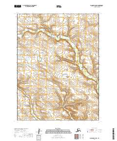
2019 Map of Dillingham C-5 SE
USGS Topo · Published 2019About this map
Klutuk Cr meanders across this wilderness terrain in the Dillingham Census Area, defining the drainage patterns of this sparsely documented interior landscape. This 2019 survey, compiled from imagery and elevation data from the early 21st century, details a region characterized by complex topography and numerous small lakes and ponds that dot the low-lying areas between ridges. Unlike earlier historic maps focused on resource extraction or settled towns, this sheet records the natural state of the Alaskan interior, showing the intricate network of wetlands and the precise township and range boundaries of t6s r49w, t7s r48w, and t8s r49w. It serves as a modern topographic baseline for a region where the land itself remains the primary feature, devoid of named roads or established settlements.
Find a feature on this map
7 named features on this map. Tap any name to fly to it.
Don’t see what you’re looking for? This feature index may not catch every label — zoom into the map to look around manually.
Map Details
Editions of this 2019 Dillingham C-5 SE Map
This is the sole edition of this map. No revisions or reprints were ever made.
Other maps of this area

1951 · Dillingham
USGS Topo · 1:250,000

1954 · Dillingham
USGS Topo · 1:250,000

1954 · Dillingham B-4
USGS Topo · 1:63,360
1954 · Dillingham B-5
USGS Topo · 1:63,360

1954 · Dillingham C-4
USGS Topo · 1:63,360

1954 · Dillingham C-5
USGS Topo · 1:63,360
2019 · Dillingham C-5 NE
USGS Topo · 1:25,000
2019 · Dillingham B-4 NW
USGS Topo · 1:25,000
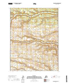
2019 · Dillingham C-5 NW
USGS Topo · 1:25,000
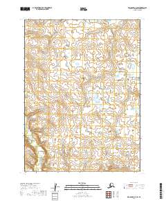
2019 · Dillingham C-4 SW
USGS Topo · 1:25,000