
1954 Map of Dillingham C-4
USGS Topo · Published 1968About this map
Koliganek occupies a prominent position on the banks of the Nushagak River in this mid-century mapping of the Alaska bush. The landscape is defined by the braided path of the river and a dense network of tributaries including Cranberry Creek, Tunravik Creek, and Klutuk Creek. Evidence of human activity is concentrated along these waterways, where a Landing Strip and an isolated Cabin represent the vital air and river transportation links of the era.
Find a feature on this map
8 named features on this map. Tap any name to fly to it.
Don’t see what you’re looking for? This feature index may not catch every label — zoom into the map to look around manually.
Map Details
Editions of this 1954 Dillingham C-4 Map
This is the sole edition of this map. No revisions or reprints were ever made.
Other maps of this area

1951 · Dillingham
USGS Topo · 1:250,000

1954 · Dillingham
USGS Topo · 1:250,000

1954 · Dillingham B-4
USGS Topo · 1:63,360

1954 · Dillingham C-3
USGS Topo · 1:63,360

1954 · Dillingham B-3
USGS Topo · 1:63,360

1954 · Dillingham D-3
USGS Topo · 1:63,360
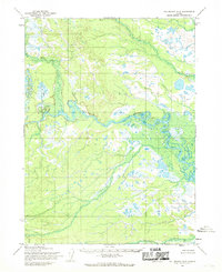
1954 · Dillingham D-5
USGS Topo · 1:63,360

1954 · Dillingham D-4
USGS Topo · 1:63,360
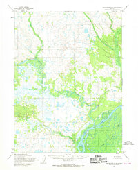
1954 · Dillingham B-5
USGS Topo · 1:63,360

1954 · Dillingham C-5
USGS Topo · 1:63,360