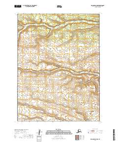
2019 Map of Dillingham C-5 NW
USGS Topo · Published 2019About this map
Napotoli Cr and Klutuk Cr define the hydrological character of this subarctic wilderness within the Dillingham Census Area. Recorded by the U.S. Geological Survey in 2019, the landscape is defined by its complex drainage patterns and elevation contours rather than human settlements. This particular quadrangle is remarkably sparse, containing no named towns, roads, or structures, emphasizing the untouched nature of the Alaskan interior. Instead, the map serves as a vital record of the terrain's physical topography, showing the meandering paths of these two primary water bodies as they move through the township and range grids of t5s r50w and t6s r50w. For those studying the native hydrology or planning remote backcountry navigation, the detailed contour intervals provide the only structural landmarks in a territory where natural features remain the primary points of reference.
Find a feature on this map
8 named features on this map. Tap any name to fly to it.
Don’t see what you’re looking for? This feature index may not catch every label — zoom into the map to look around manually.
Map Details
Editions of this 2019 Dillingham C-5 NW Map
This is the sole edition of this map. No revisions or reprints were ever made.
Other maps of this area

1951 · Dillingham
USGS Topo · 1:250,000

1954 · Dillingham
USGS Topo · 1:250,000

1954 · Dillingham C-6
USGS Topo · 1:63,360

1954 · Dillingham D-6
USGS Topo · 1:63,360
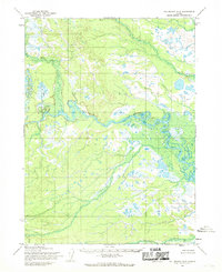
1954 · Dillingham D-5
USGS Topo · 1:63,360

1954 · Dillingham C-5
USGS Topo · 1:63,360
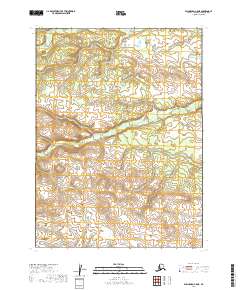
2019 · Dillingham C-5 NE
USGS Topo · 1:25,000
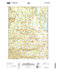
2019 · Dillingham D-5 SE
USGS Topo · 1:25,000
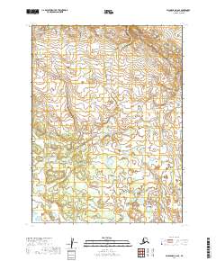
2019 · Dillingham C-6 SE
USGS Topo · 1:25,000
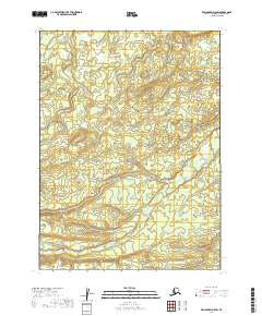
2019 · Dillingham D-5 SW
USGS Topo · 1:25,000