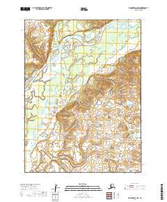
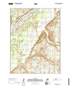
2019 Map of Dillingham B-4 NE
USGS Topo · Published 2019About this map
New Stuyahok sits at the heart of this landscape, positioned along the sweeping curves of the Nushagak River in Southwest Alaska. The settlement serves as a critical hub in the Bristol Bay region, where the river's braided channels and wide alluvial plains define the character of the terrain. The presence of Tunravik Creek, which enters the river system just north of the village, highlights the dense network of tributaries that support the local subsistence economy and inland transport routes. To the east and south, the topography transitions from low-lying river wetlands to rising hills, providing a clear view of the drainage patterns and land management boundaries established by the t8s r47w and t9s r47w survey lines.
Find a feature on this map
8 named features on this map. Tap any name to fly to it.
Don’t see what you’re looking for? This feature index may not catch every label — zoom into the map to look around manually.
Map Details
Editions of this 2019 Dillingham B-4 NE Map
This is the sole edition of this map. No revisions or reprints were ever made.
Other maps of this area

1951 · Dillingham
USGS Topo · 1:250,000

1954 · Dillingham
USGS Topo · 1:250,000

1954 · Dillingham B-4
USGS Topo · 1:63,360

1954 · Dillingham C-3
USGS Topo · 1:63,360

1954 · Dillingham B-3
USGS Topo · 1:63,360

1954 · Dillingham C-4
USGS Topo · 1:63,360
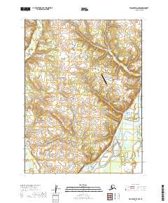
2019 · Dillingham B-4 NW
USGS Topo · 1:25,000
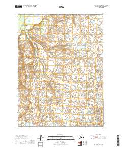
2019 · Dillingham B-3 NW
USGS Topo · 1:25,000
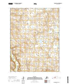
2019 · Dillingham C-4 SW
USGS Topo · 1:25,000
2019 · Dillingham B-4 SW
USGS Topo · 1:25,000