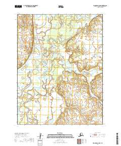
2019 Map of Dillingham A-5 NE
USGS Topo · Published 2019About this map
The Nushagak River dominates this landscape in the Dillingham Census Area, winding through a complex network of wetlands and side channels. The hydrological character of the region is defined by the Keefer Cutoff, which creates a significant bypass for the main river flow, and the confluence with Lower Klutuk Creek. This map reveals a wilderness area devoid of permanent road infrastructure or named settlements, highlighting the remote nature of the Alaskan interior near the coast. Smaller waterways like Koggiling Cr meander through the marshy terrain, illustrating the seasonal shifts and sediment deposits that constantly reshape the river basin. The absence of industrial or residential labels underscores the area's primary role as a natural habitat and seasonal resource for local transit.
Find a feature on this map
8 named features on this map. Tap any name to fly to it.
Don’t see what you’re looking for? This feature index may not catch every label — zoom into the map to look around manually.
Map Details
Editions of this 2019 Dillingham A-5 NE Map
This is the sole edition of this map. No revisions or reprints were ever made.
Other maps of this area

1951 · Dillingham
USGS Topo · 1:250,000

1952 · Dillingham A-5
USGS Topo · 1:63,360

1952 · Dillingham A-4
USGS Topo · 1:63,360

1954 · Dillingham
USGS Topo · 1:250,000

1954 · Dillingham B-4
USGS Topo · 1:63,360
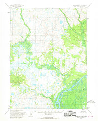
1954 · Dillingham B-5
USGS Topo · 1:63,360
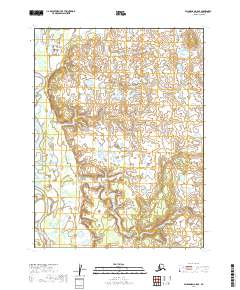
2019 · Dillingham A-5 SE
USGS Topo · 1:25,000
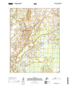
2019 · Dillingham B-5 SE
USGS Topo · 1:25,000
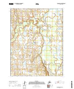
2019 · Dillingham A-5 SW
USGS Topo · 1:25,000
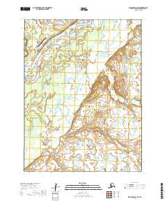
2019 · Dillingham B-4 SW
USGS Topo · 1:25,000