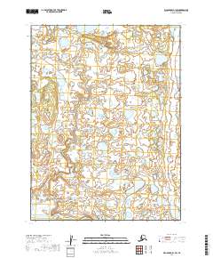
2019 Map of Dillingham B-1 SW
USGS Topo · Published 2019About this map
The Kvichak River and its intricate network of surrounding wetlands dominate this landscape within the Lake and Peninsula Borough. Flowing across the southwestern corner of the quadrangle, the river's path is defined by a low-lying, water-soaked terrain typical of this part of Alaska. Higher up, the winding course of Ben Courtney Cr cuts through the northern and western sections, illustrating a landscape primarily shaped by glacial retreat and hydrological shifts. The map is heavily gridded by the Public Land Survey System, including t9s r42w and t10s r41w, indicating the formal cadastral organization of this expansive territory. This area serves as a critical point for understanding the natural drainage patterns into the Bristol Bay region during the early twenty-first century.
Find a feature on this map
8 named features on this map. Tap any name to fly to it.
Don’t see what you’re looking for? This feature index may not catch every label — zoom into the map to look around manually.
Map Details
Editions of this 2019 Dillingham B-1 SW Map
This is the sole edition of this map. No revisions or reprints were ever made.
Other maps of this area

1951 · Dillingham
USGS Topo · 1:250,000

1951 · Dillingham A-1
USGS Topo · 1:63,360

1952 · Dillingham A-2
USGS Topo · 1:63,360

1954 · Dillingham
USGS Topo · 1:250,000
1954 · Dillingham B-2
USGS Topo · 1:63,360
1954 · Dillingham B-1
USGS Topo · 1:63,360
2019 · Dillingham B-1 SE
USGS Topo · 1:25,000
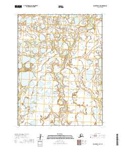
2019 · Dillingham B-1 NE
USGS Topo · 1:25,000
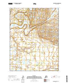
2019 · Dillingham A-2 NE
USGS Topo · 1:25,000
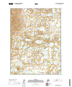
2019 · Dillingham B-1 NW
USGS Topo · 1:25,000