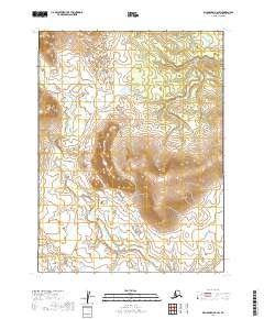
2019 Map of Dillingham B-6 SW
USGS Topo · Published 2019About this map
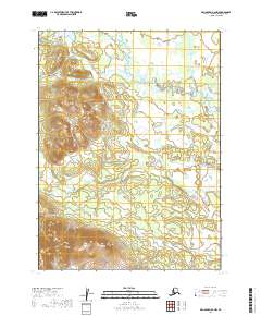
Muklung Hills dominate this portion of the Dillingham Census Area, rising as a prominent upland massif between the drainage basins of the Iowithla River and the Little Muklung River. The topography revealed in this 2019 survey reflects the high-elevation interior of the region, where the Iowithla River meanders through the western lowlands before curving east across the southern extent of the map. This landscape is characterized by a lack of built infrastructure or named settlements, highlighting the wild, hydrological network of Southwest Alaska. The transition from the steep contours of the hills to the riparian corridors of the rivers suggests a complex watershed where seasonal meltwater feeds into these primary river systems.
Find a feature on this map
9 named features on this map. Tap any name to fly to it.
Don’t see what you’re looking for? This feature index may not catch every label — zoom into the map to look around manually.
Map Details
Editions of this 2019 Dillingham B-6 SW Map
This is the sole edition of this map. No revisions or reprints were ever made.
Other maps of this area

1951 · Dillingham
USGS Topo · 1:250,000

1952 · Dillingham A-6
USGS Topo · 1:63,360

1952 · Dillingham A-7
USGS Topo · 1:63,360

1954 · Dillingham
USGS Topo · 1:250,000

1954 · Dillingham B-7
USGS Topo · 1:63,360

1954 · Dillingham B-6
USGS Topo · 1:63,360
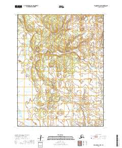
2019 · Dillingham A-7 NE
USGS Topo · 1:25,000
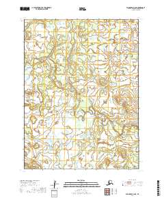
2019 · Dillingham B-6 NE
USGS Topo · 1:25,000
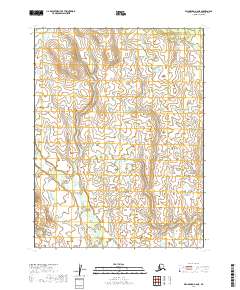
2019 · Dillingham A-6 NE
USGS Topo · 1:25,000
2019 · Dillingham B-6 NW
USGS Topo · 1:25,000