
1952 Map of Dillingham A-7
USGS Topo · Published 1963About this map
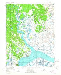
Dillingham serves as the focal point of this coastal Alaska survey, situated where the Wood River and Nushagak River converge. The mapping captures the community in the early 1950s, highlighting its proximity to Snag Point and the essential Landing Strip that connects this maritime hub to the interior. Further south along the coast, the settlements of Nelsonville and Kanakanak are visible, the latter identified by its government hospital, marking it as a critical regional center for health and services during this era.
Find a feature on this map
22 named features on this map. Tap any name to fly to it.
Don’t see what you’re looking for? This feature index may not catch every label — zoom into the map to look around manually.
Map Details
Editions of this 1952 Dillingham A-7 Map
2 editions found
Other maps of this area

1945 · Nushagak Bay
USGS Topo · 1:250,000

1949 · Nushagak Bay
USGS Topo · 1:250,000

1951 · Dillingham
USGS Topo · 1:250,000

1951 · Nushagak Bay
USGS Topo · 1:250,000

1952 · Dillingham A-8
USGS Topo · 1:63,360

1952 · Dillingham A-6
USGS Topo · 1:63,360

1952 · Nushagak Bay D-1
USGS Topo · 1:63,360
1952 · Nushagak Bay D-2
USGS Topo · 1:63,360

1954 · Dillingham
USGS Topo · 1:250,000

1954 · Dillingham B-7
USGS Topo · 1:63,360