
1952 Map of Nushagak Bay D-1
USGS Topo · Published 1963About this map
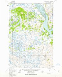
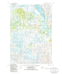
The Nushagak River dominates this early 1950s survey, carving a broad path through a landscape defined by complex tidal channels and extensive wetlands. Along the river’s eastern banks, navigational markers such as Lewis Point, Cross Point, and Black Point define the shore, while a solitary Cabin appears near the river's bend, suggesting the seasonal presence of trappers or fishers in this wilderness. West of the main channel, Snake Slough meanders through low-lying terrain characterized by countless small ponds and lake systems.
Find a feature on this map
9 named features on this map. Tap any name to fly to it.
Don’t see what you’re looking for? This feature index may not catch every label — zoom into the map to look around manually.
Map Details
Editions of this 1952 Nushagak Bay D-1 Map
3 editions found
Other maps of this area

1945 · Nushagak Bay
USGS Topo · 1:250,000

1949 · Nushagak Bay
USGS Topo · 1:250,000

1951 · Dillingham
USGS Topo · 1:250,000

1951 · Nushagak Bay
USGS Topo · 1:250,000

1952 · Naknek
USGS Topo · 1:250,000
1952 · Nushagak Bay C-1
USGS Topo · 1:63,360

1952 · Naknek C-6
USGS Topo · 1:63,360

1952 · Dillingham A-6
USGS Topo · 1:63,360

1952 · Dillingham A-7
USGS Topo · 1:63,360
1952 · Nushagak Bay D-2
USGS Topo · 1:63,360