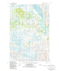
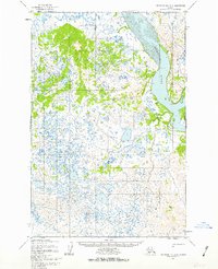
1952 Map of Nushagak Bay D-1
USGS Topo · Published 1985About this map
The Nushagak River dominates the eastern boundary of this landscape, its wide channel defined by prominent landmarks such as Lewis Point, Cross Point, and Black Point. Based on aerial photographs from 1951, the map reveals a vast, low-lying coastal environment characterized by a complex network of wetlands and unnamed water bodies. This hydrographic detail, later updated with data from the Nos/Noaa chart, captures the intricate shoreline and swamp patterns of the region before significant modern alteration. The topography, mapped via photogrammetric methods, illustrates the subtle relief of the tundra and the tidal influence along the riverbanks, where the mean range of tide reaches approximately ten feet. This survey provides a primary record of the unsurveyed and unmarked land lines as predetermined by the Bureau of Land Management, reflecting the administrative and geographic state of the Alaska territory in the early 1950s.
Find a feature on this map
5 named features on this map. Tap any name to fly to it.
Don’t see what you’re looking for? This feature index may not catch every label — zoom into the map to look around manually.
Map Details
Editions of this 1952 Nushagak Bay D-1 Map
3 editions found
Other maps of this area

1945 · Nushagak Bay
USGS Topo · 1:250,000

1949 · Nushagak Bay
USGS Topo · 1:250,000

1951 · Dillingham
USGS Topo · 1:250,000

1951 · Nushagak Bay
USGS Topo · 1:250,000

1952 · Naknek
USGS Topo · 1:250,000
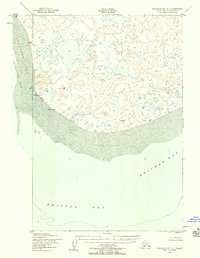
1952 · Nushagak Bay C-1
USGS Topo · 1:63,360

1952 · Naknek C-6
USGS Topo · 1:63,360

1952 · Dillingham A-6
USGS Topo · 1:63,360

1952 · Nushagak Bay D-1
USGS Topo · 1:63,360

1952 · Dillingham A-7
USGS Topo · 1:63,360