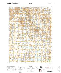
2019 Map of Dillingham D-2 NW
USGS Topo · Published 2019About this map
The vast expanse of the Dillingham Census Area landscape is defined by an intricate network of wetlands and small water bodies. This 2019 survey, produced by the U.S. Department of the Interior and the U.S. Geological Survey, illustrates a territory primarily structured by the Public Land Survey System, specifically within T2s R43w, T2s R42w, T3s R43w, and T3s R42w. The lack of named settlements or roads reflects a deeply natural environment dominated by hydrographic features, offering a clean baseline for researchers studying changes in Alaskan water levels and drainage patterns over time. The topography is subtle, with 10-foot contour intervals revealing a landscape of low-relief rises and shallow depressions that collect seasonal and permanent waters.
Find a feature on this map
4 named features on this map. Tap any name to fly to it.
Don’t see what you’re looking for? This feature index may not catch every label — zoom into the map to look around manually.
Map Details
Editions of this 2019 Dillingham D-2 NW Map
This is the sole edition of this map. No revisions or reprints were ever made.
Other maps of this area

1950 · Taylor Mountains
USGS Topo · 1:250,000

1951 · Taylor Mountains
USGS Topo · 1:250,000

1951 · Dillingham
USGS Topo · 1:250,000

1954 · Taylor Mountains
USGS Topo · 1:250,000

1954 · Dillingham
USGS Topo · 1:250,000

1954 · Dillingham D-2
USGS Topo · 1:63,360

1954 · Dillingham D-3
USGS Topo · 1:63,360

1954 · Taylor Mountains A-2
USGS Topo · 1:63,360
1954 · Taylor Mountains A-3
USGS Topo · 1:63,360
2019 · Dillingham D-2 NE
USGS Topo · 1:25,000