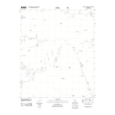
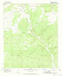
2011 Map of Dillon Mountain
USGS Topo · Published 2011About this map
The San Francisco River carves a deep path through this portion of Catron County, creating dramatic geological formations like the narrow passage known as The Box. This landscape is defined by its water sources, essential for ranching and survival, ranging from the Frisco Hot Spring to numerous high-altitude catchments such as Devil Tank Number One and Lily Patch Tank. The presence of the Miller Ranch near Warm Springs Canyon highlights the long-standing agricultural use of these canyons and mesas.
Find a feature on this map
45 named features on this map. Tap any name to fly to it.
Don’t see what you’re looking for? This feature index may not catch every label — zoom into the map to look around manually.
Map Details
Editions of this 2011 Dillon Mountain Map
This is the sole edition of this map. No revisions or reprints were ever made.
Other maps of this area

1915 · Reserve
USGS Topo · 1:125,000

1918 · Reserve
USGS Topo · 1:125,000

1954 · Clifton
USGS Topo · 1:250,000

1957 · Clifton
USGS Topo · 1:250,000

1958 · Clifton
USGS Topo · 1:250,000

1962 · Clifton
USGS Topo · 1:250,000
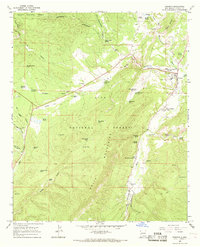
1965 · Reserve
USGS Topo · 1:24,000
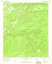
1965 · Milligan Mountain
USGS Topo · 1:24,000
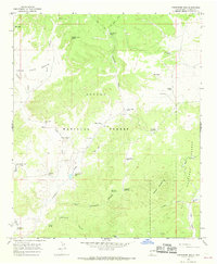
1965 · Centerfire Bog
USGS Topo · 1:24,000
1965 · Queens Head
USGS Topo · 1:24,000