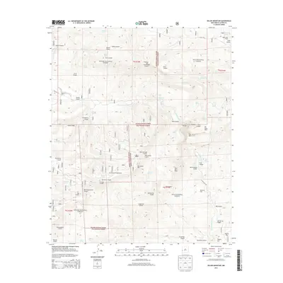
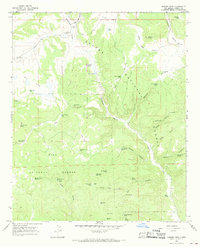
2013 Map of Dillon Mountain
USGS Topo · Published 2013About this map
The San Francisco River cuts a deep path through this southwestern New Mexico landscape, marking a significant transition between the Apache National Forest and Gila National Forest. The topography is defined by the massive San Francisco Mountains and high-altitude features like Dillon Mtn and Monument Mtn. Of particular interest to researchers are the thermal features along the river, specifically Frisco Hot Spring and Upper Hot Springs, which indicate the region's active geology. Named landmarks such as Bill Lewis Mesa and McCarty Flat suggest early land use and local family history, while a network of high-desert water sources, including Joshua Tank and Devil Tank, illustrates the vital infrastructure required for life and ranching in this arid, high-elevation terrain.
Find a feature on this map
68 named features on this map. Tap any name to fly to it.
Don’t see what you’re looking for? This feature index may not catch every label — zoom into the map to look around manually.
Map Details
Editions of this 2013 Dillon Mountain Map
This is the sole edition of this map. No revisions or reprints were ever made.
Other maps of this area

1915 · Reserve
USGS Topo · 1:125,000

1918 · Reserve
USGS Topo · 1:125,000

1954 · Clifton
USGS Topo · 1:250,000

1957 · Clifton
USGS Topo · 1:250,000

1958 · Clifton
USGS Topo · 1:250,000

1962 · Clifton
USGS Topo · 1:250,000
1965 · Reserve
USGS Topo · 1:24,000
1965 · Milligan Mountain
USGS Topo · 1:24,000
1965 · Centerfire Bog
USGS Topo · 1:24,000
1965 · Queens Head
USGS Topo · 1:24,000