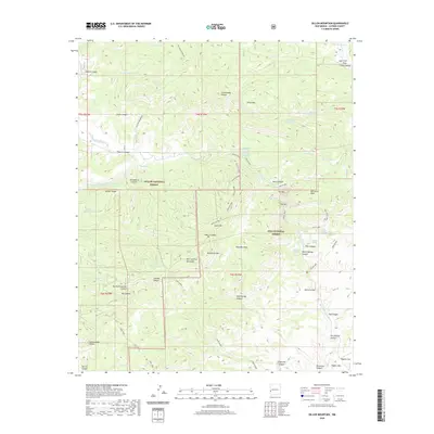
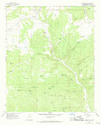
2020 Map of Dillon Mountain
USGS Topo · Published 2020About this map
The San Francisco River cuts through this high-elevation corner of Catron County, where the borders of the Apache National Forest and Gila National Forest converge. The landscape is defined by its hydrothermal activity and ranching history, notably the Upper Frisco Hot Springs and Frisco Hot Spring located along the river. This terrain supported a network of specialized routes, including the Mail Trail and the Spur Ranch road, which historically connected isolated grazing lands and mountain homesteads.
Find a feature on this map
68 named features on this map. Tap any name to fly to it.
Don’t see what you’re looking for? This feature index may not catch every label — zoom into the map to look around manually.
Map Details
Editions of this 2020 Dillon Mountain Map
This is the sole edition of this map. No revisions or reprints were ever made.
Other maps of this area

1915 · Reserve
USGS Topo · 1:125,000

1918 · Reserve
USGS Topo · 1:125,000

1954 · Clifton
USGS Topo · 1:250,000

1957 · Clifton
USGS Topo · 1:250,000

1958 · Clifton
USGS Topo · 1:250,000

1962 · Clifton
USGS Topo · 1:250,000
1965 · Reserve
USGS Topo · 1:24,000
1965 · Milligan Mountain
USGS Topo · 1:24,000
1965 · Centerfire Bog
USGS Topo · 1:24,000
1965 · Queens Head
USGS Topo · 1:24,000