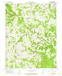
1963 Map of Dillon
USGS Topo · Published 1964About this map
The St Louis - San Francisco railroad corridor serves as the primary artery through this section of Phelps County, connecting the eastern edge of Rolla to the community of St James. The landscape is defined by the winding course of the Dry Fork and its tributaries, including Little Dry Fork and Lanes Fork, which carve through the terrain south of Schuman Ridge. This 1963 survey captures a rural landscape still anchored by neighborhood institutions, from the Flat Grove Sch and Flat Grove Cem in the north to the Peace Ch in the south.
Find a feature on this map
52 named features on this map. Tap any name to fly to it.
Don’t see what you’re looking for? This feature index may not catch every label — zoom into the map to look around manually.
Map Details
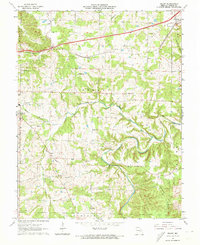
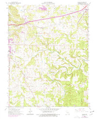
Editions of this 1963 Dillon Map
3 editions found
Other maps of this area

1912 · Rolla
USGS Topo · 1:62,500

1928 · Meramec Spring
USGS Topo · 1:62,500

1934 · Redbird
USGS Topo · 1:62,500

1937 · Vienna
USGS Topo · 1:62,500

1938 · Redbird
USGS Topo · 1:62,500

1938 · Vienna
USGS Topo · 1:48,000

1949 · Saint Louis
USGS Topo · 1:250,000

1949 · Vienna
USGS Topo · 1:62,500

1949 · Rolla
USGS Topo · 1:250,000

1949 · Meramec Spring
USGS Topo · 1:62,500