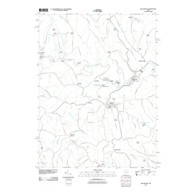
2010 Map of Dillonvale
USGS Topo · Published 2010About this map
Dillonvale and Mount Pleasant anchor a landscape defined by its coal-mining history and the winding course of Short Creek. This 2010 survey illustrates the industrial footprint of the region, specifically marking the Dunglen Mine and the substantial Dunglen Mine Impoundment, along with the Dorothy Mine Pond further south. The map provides significant detail for genealogists, identifying numerous small communities like Olszeski Town, Pine Valley, and Herrick, alongside several burial grounds including Rehoboth Cemetery and Saint Casimirs Cemetery.
Find a feature on this map
117 named features on this map. Tap any name to fly to it.
Don’t see what you’re looking for? This feature index may not catch every label — zoom into the map to look around manually.
Map Details
Editions of this 2010 Dillonvale Map
This is the sole edition of this map. No revisions or reprints were ever made.
Other maps of this area

1901 · Cadiz
USGS Topo · 1:62,500

1902 · Wheeling
USGS Topo · 1:62,500

1903 · Cadiz
USGS Topo · 1:62,500

1904 · Steubenville
USGS Topo · 1:62,500

1905 · St. Clairsville
USGS Topo · 1:62,500

1935 · Wheeling
USGS Topo · 1:62,500

1935 · Steubenville
USGS Topo · 1:62,500

1942 · Wheeling
USGS Topo · 1:62,500

1942 · Steubenville
USGS Topo · 1:62,500

1951 · Canton
USGS Topo · 1:250,000