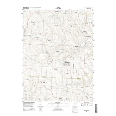
2013 Map of Dillonvale
USGS Topo · Published 2013About this map
The border of Jefferson and Belmont Counties divides this landscape of coal-mining heritage and small hillside settlements. Industrial history is evident in the presence of the Piney Fork Prep Plant, the Dunglen Mine Impoundment, and the Dorothy Mine Pond, which reflect the region's long-standing connection to resource extraction. Clusters of homes and local history are found in places like Dillonvale, Adena, and Mount Pleasant, while smaller locales such as Olszeski Town and Deyarmonville provide insight into the specific settlement patterns of the early 21st century.
Find a feature on this map
137 named features on this map. Tap any name to fly to it.
Don’t see what you’re looking for? This feature index may not catch every label — zoom into the map to look around manually.
Map Details
Editions of this 2013 Dillonvale Map
This is the sole edition of this map. No revisions or reprints were ever made.
Other maps of this area

1901 · Cadiz
USGS Topo · 1:62,500

1902 · Wheeling
USGS Topo · 1:62,500

1903 · Cadiz
USGS Topo · 1:62,500

1904 · Steubenville
USGS Topo · 1:62,500

1905 · St. Clairsville
USGS Topo · 1:62,500

1935 · Wheeling
USGS Topo · 1:62,500

1935 · Steubenville
USGS Topo · 1:62,500

1942 · Wheeling
USGS Topo · 1:62,500

1942 · Steubenville
USGS Topo · 1:62,500

1951 · Canton
USGS Topo · 1:250,000