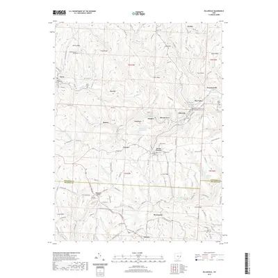
2019 Map of Dillonvale
USGS Topo · Published 2019About this map
Dillonvale and the surrounding hills of eastern Ohio reveal a landscape defined by industrial history and deep-rooted community landmarks. Located near the Jefferson Co and Belmont Co line, the area features the Dunglen Mine Impoundment, signaling the region's long-standing connection to coal extraction. This legacy is mirrored in the network of small settlements like Dunglen, Herrick, and Pine Valley that follow the valley floors.
Find a feature on this map
91 named features on this map. Tap any name to fly to it.
Don’t see what you’re looking for? This feature index may not catch every label — zoom into the map to look around manually.
Map Details
Editions of this 2019 Dillonvale Map
This is the sole edition of this map. No revisions or reprints were ever made.
Other maps of this area

1901 · Cadiz
USGS Topo · 1:62,500

1902 · Wheeling
USGS Topo · 1:62,500

1903 · Cadiz
USGS Topo · 1:62,500

1904 · Steubenville
USGS Topo · 1:62,500

1905 · St. Clairsville
USGS Topo · 1:62,500

1935 · Wheeling
USGS Topo · 1:62,500

1935 · Steubenville
USGS Topo · 1:62,500

1942 · Wheeling
USGS Topo · 1:62,500

1942 · Steubenville
USGS Topo · 1:62,500

1951 · Canton
USGS Topo · 1:250,000