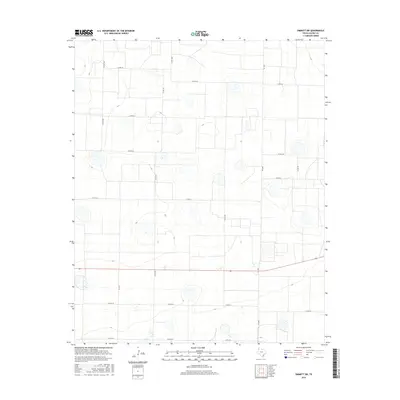
2016 Map of Dimmitt SW
USGS Topo · Published 2016About this map
Agricultural patterns and a strict sectional grid define this portion of Castro County, where the landscape is etched with a network of farm-to-market and county roads. The terrain is dotted with numerous small, seasonally wet depressions typical of the Llano Estacado, appearing as light-colored basins interspersed among the cultivated fields. Major thoroughfares such as Fm 1055 and Fm 1524 provide the primary north-south transit, while an array of designated county routes including Co Rd 610 and Co Rd 617 facilitate access to the expansive agricultural tracts. This 2016 survey illustrates the precision of modern Texas land division, showing the relationship between these essential transport links and the unique natural hydrology of the Panhandle plains.
Find a feature on this map
15 named features on this map. Tap any name to fly to it.
Don’t see what you’re looking for? This feature index may not catch every label — zoom into the map to look around manually.
Map Details
Editions of this 2016 Dimmitt SW Map
This is the sole edition of this map. No revisions or reprints were ever made.
Other maps of this area

1954 · Clovis
USGS Topo · 1:250,000

1958 · Clovis
USGS Topo · 1:250,000

1962 · Dodd NE
USGS Topo · 1:24,000

1963 · Flagg
USGS Topo · 1:24,000

1963 · Lazbuddie
USGS Topo · 1:24,000

1965 · Dimmitt
USGS Topo · 1:24,000

1965 · Dimmitt SW
USGS Topo · 1:24,000

1965 · Tam Anne
USGS Topo · 1:24,000

1966 · Jumbo
USGS Topo · 1:24,000

1966 · Easter
USGS Topo · 1:24,000