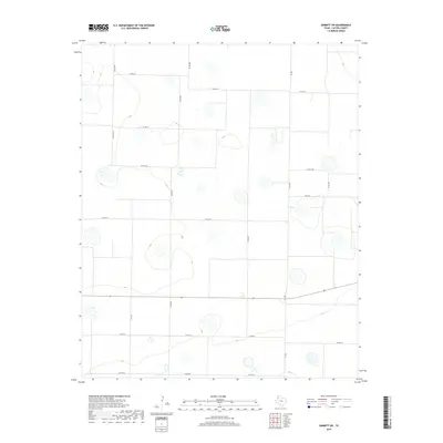
2019 Map of Dimmitt SW
USGS Topo · Published 2019About this map
Agricultural patterns and cattle-country infrastructure dominate this southwestern portion of Castro County. The landscape is defined by a rigorous grid of section roads and water management features, including numerous playa lakes that dot the High Plains terrain. The network is anchored by several Farm to Market roads, notably Fm 1055 running north-south and Fm 2392 cutting across the eastern side, which facilitate the transport of livestock and crops in this productive corner of the Texas Panhandle.
Find a feature on this map
15 named features on this map. Tap any name to fly to it.
Don’t see what you’re looking for? This feature index may not catch every label — zoom into the map to look around manually.
Map Details
Editions of this 2019 Dimmitt SW Map
This is the sole edition of this map. No revisions or reprints were ever made.
Other maps of this area

1954 · Clovis
USGS Topo · 1:250,000

1958 · Clovis
USGS Topo · 1:250,000

1962 · Dodd NE
USGS Topo · 1:24,000

1963 · Flagg
USGS Topo · 1:24,000

1963 · Lazbuddie
USGS Topo · 1:24,000

1965 · Dimmitt
USGS Topo · 1:24,000

1965 · Dimmitt SW
USGS Topo · 1:24,000

1965 · Tam Anne
USGS Topo · 1:24,000

1966 · Jumbo
USGS Topo · 1:24,000

1966 · Easter
USGS Topo · 1:24,000