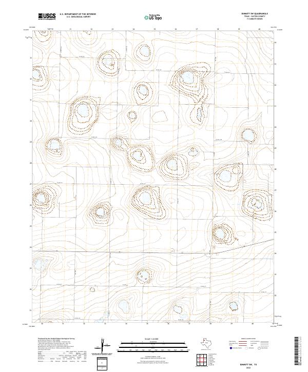
2022 Map of Dimmitt SW
USGS Topo · Published 2022About this map
Plea depressions and agricultural drainage patterns characterize this section of the Texas Panhandle southwest of Dimmitt. The landscape is defined by a strictly rectilinear grid of county roads, such as Co Rd 610 and Co Rd 614, which partition the high plains into large-scale farming tracts. This 2022 survey reveals a terrain marked by numerous ephemeral basin-like features, many of which are encircled by subtle topographical contours and linked to intermittent drainage routes.
Find a feature on this map
16 named features on this map. Tap any name to fly to it.
Don’t see what you’re looking for? This feature index may not catch every label — zoom into the map to look around manually.
Map Details
Editions of this 2022 Dimmitt SW Map
This is the sole edition of this map. No revisions or reprints were ever made.
Other maps of this area

1954 · Clovis
USGS Topo · 1:250,000

1958 · Clovis
USGS Topo · 1:250,000

1962 · Dodd NE
USGS Topo · 1:24,000

1963 · Flagg
USGS Topo · 1:24,000

1963 · Lazbuddie
USGS Topo · 1:24,000

1965 · Dimmitt
USGS Topo · 1:24,000

1965 · Dimmitt SW
USGS Topo · 1:24,000

1965 · Tam Anne
USGS Topo · 1:24,000

1966 · Jumbo
USGS Topo · 1:24,000

1966 · Easter
USGS Topo · 1:24,000