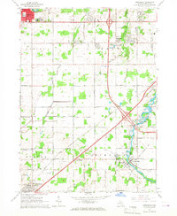
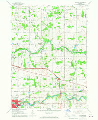
1965 Map of Dimondale
USGS Topo · Published 1967About this map
The Grand River snakes through the landscape of northeastern Eaton County, anchoring the settlements of Dimondale and Millett as they appeared in the mid-1960s. This survey records a period of transition as the expansion of modern infrastructure meets a deeply rooted agricultural and institutional landscape. Educational sites like the Grand Ledge Academy and Winans Sch are prominent alongside several rural burial grounds, including the Dimondale Cemetery and Pioneer Cem.
Find a feature on this map
57 named features on this map. Tap any name to fly to it.
Don’t see what you’re looking for? This feature index may not catch every label — zoom into the map to look around manually.
Map Details
Editions of this 1965 Dimondale Map
3 editions found
Other maps of this area

1910 · Lansing
USGS Topo · 1:62,500

1912 · Lansing
USGS Topo · 1:62,500

1927 · De Witt
USGS Topo · 1:62,500

1945 · Portland
USGS Topo · 1:62,500

1949 · Charlotte
USGS Topo · 1:62,500

1958 · Grand Rapids
USGS Topo · 1:250,000

1961 · Grand Rapids
USGS Topo · 1:250,000

1962 · Grand Rapids
USGS Topo · 1:250,000
1965 · Lansing South
USGS Topo · 1:24,000
1965 · Wacousta
USGS Topo · 1:24,000