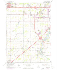
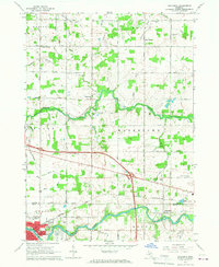
1965 Map of Dimondale
USGS Topo · Published 1974About this map
Grand Ledge and Potterville anchor this mid-1960s study of Eaton County, where the meandering Grand River cuts a deep valley through the eastern township of Windsor. The map illustrates a landscape in transition, with traditional agricultural patterns being intersected by burgeoning interstate infrastructure. Local centers like Dimondale and Millett maintain their village character even as new suburban footprints appear in purple revision near Delta Center.
Find a feature on this map
53 named features on this map. Tap any name to fly to it.
Don’t see what you’re looking for? This feature index may not catch every label — zoom into the map to look around manually.
Map Details
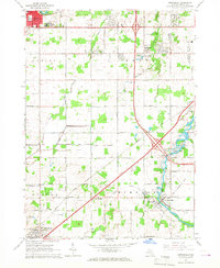
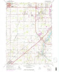
Editions of this 1965 Dimondale Map
3 editions found
Other maps of this area

1910 · Lansing
USGS Topo · 1:62,500

1912 · Lansing
USGS Topo · 1:62,500

1927 · De Witt
USGS Topo · 1:62,500

1945 · Portland
USGS Topo · 1:62,500

1949 · Charlotte
USGS Topo · 1:62,500

1958 · Grand Rapids
USGS Topo · 1:250,000

1961 · Grand Rapids
USGS Topo · 1:250,000

1962 · Grand Rapids
USGS Topo · 1:250,000
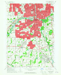
1965 · Lansing South
USGS Topo · 1:24,000
1965 · Wacousta
USGS Topo · 1:24,000