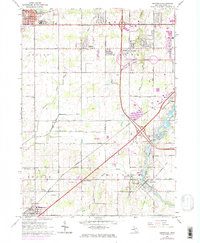
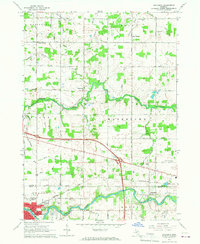
1965 Map of Dimondale
USGS Topo · Published 1974About this map
The Grand River carves a winding path through the southeastern portion of this Eaton County landscape, where the village of Dimondale sits at a bend in the water. By the mid-1960s, the area shows a transition from traditional rural townships like Benton and Windsor toward increasing suburban and industrial activity near the state capital. Transport corridors define the region, with the Grand Trunk Western railroad and an Old Railroad Grade cutting across the terrain, while newer highway developments begin to bypass older hubs like Potterville and West Windsor. Local community life is anchored by institutions such as Neff Sch and Delta Center Sch, alongside quiet landmarks like Pioneer Cem. The presence of several Gravel Pits and various drain networks, including the Thornapple and Old Maid Drain, reflects the managed agricultural and industrial use of the land during this period.
Find a feature on this map
55 named features on this map. Tap any name to fly to it.
Don’t see what you’re looking for? This feature index may not catch every label — zoom into the map to look around manually.
Map Details
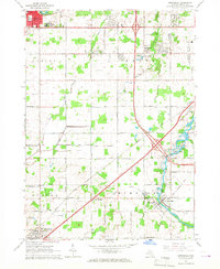
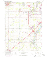
Editions of this 1965 Dimondale Map
3 editions found
Other maps of this area

1910 · Lansing
USGS Topo · 1:62,500

1912 · Lansing
USGS Topo · 1:62,500

1927 · De Witt
USGS Topo · 1:62,500

1945 · Portland
USGS Topo · 1:62,500

1949 · Charlotte
USGS Topo · 1:62,500

1958 · Grand Rapids
USGS Topo · 1:250,000

1961 · Grand Rapids
USGS Topo · 1:250,000

1962 · Grand Rapids
USGS Topo · 1:250,000
1965 · Lansing South
USGS Topo · 1:24,000
1965 · Wacousta
USGS Topo · 1:24,000