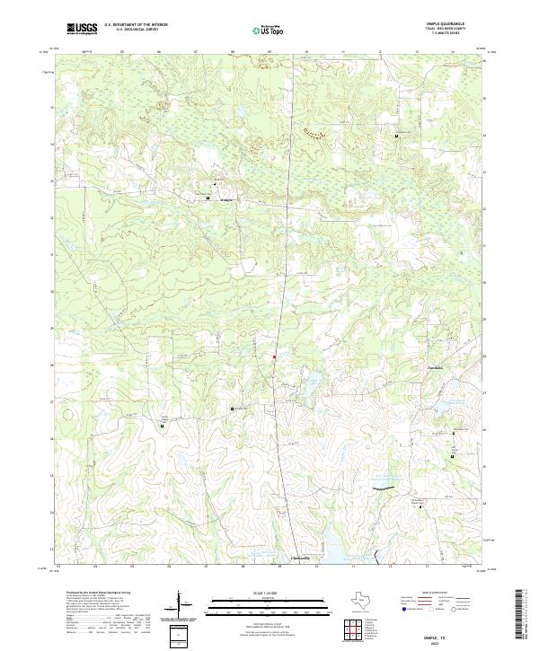
2022 Map of Dimple
USGS Topo · Published 2022About this map
Pecan Bayou and White Oak Bayou dominate the northern landscape of this Red River County region, creating a complex network of wetlands and seasonal watercourses. The small community of Dimple sits at the junction of FM 2120 and Co RD 2137, serving as a central point between numerous family and community burial grounds. This area is particularly dense with genealogical sites, ranging from the Hopewell Cem in the northeast to the Whitemans Chapel Cem near the southern boundary.
Find a feature on this map
64 named features on this map. Tap any name to fly to it.
Don’t see what you’re looking for? This feature index may not catch every label — zoom into the map to look around manually.
Map Details
Editions of this 2022 Dimple Map
This is the sole edition of this map. No revisions or reprints were ever made.
Other maps of this area

1950 · Acworth
USGS Topo · 1:24,000

1950 · White Rock
USGS Topo · 1:24,000

1950 · Annona
USGS Topo · 1:24,000

1951 · Annona
USGS Topo · 1:24,000

1951 · White Rock
USGS Topo · 1:24,000

1951 · Acworth
USGS Topo · 1:24,000

1951 · Negley
USGS Topo · 1:24,000

1951 · Manchester
USGS Topo · 1:24,000

1953 · Texarkana
USGS Topo · 1:250,000

1956 · Texarkana
USGS Topo · 1:250,000